Hocking Hills State Park Buckeye Trail is a captivating hiking trail located in the heart of Ohio’s Hocking Hills region. This moderately challenging trail offers a unique blend of natural beauty, geological wonders, and a glimpse into the area’s rich history. Whether you’re an avid hiker or a nature enthusiast, the Buckeye Trail promises an unforgettable outdoor experience.
Trail Overview

The Buckeye Trail within Hocking Hills State Park presents hikers with two distinct options: a 6-mile loop and a 10-mile round-trip route. Both paths offer a scenic and moderately difficult journey, with the average hike taking between 3 to 6 hours to complete.
| Trail Option | Distance | Hiking Time |
|---|---|---|
| 6-mile Loop | 6 miles | 3-6 hours |
| 10-mile Round-Trip | 10 miles | 3-6 hours |
The trail is considered moderately challenging, with rugged terrain, steep inclines, and breathtaking rock formations that require a certain level of physical fitness and hiking experience.
Directions and Parking

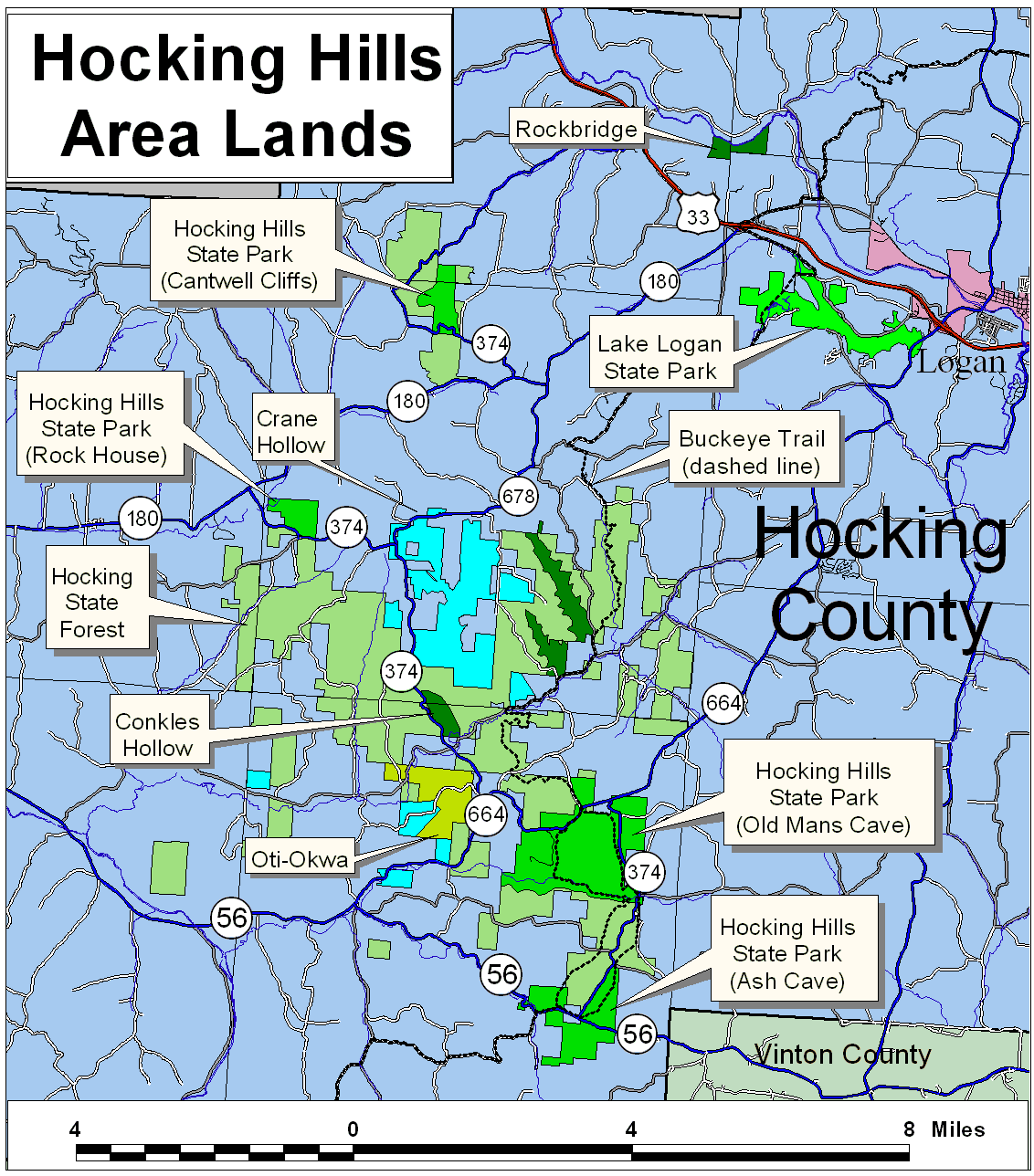
Accessing the Hocking Hills State Park Buckeye Trail is relatively straightforward. From Columbus, follow US 33 southeast to SR 374. From Athens, take US 33 northwest to SR 664, then follow SR 664 south to the Buckeye Trail.
Parking is available in the lot near the campground entrance. Restrooms can be found across the road and to the right from the parking area.
Trail Features
The Hocking Hills State Park Buckeye Trail is renowned for its stunning natural features, including:
Scenic Rock Formations
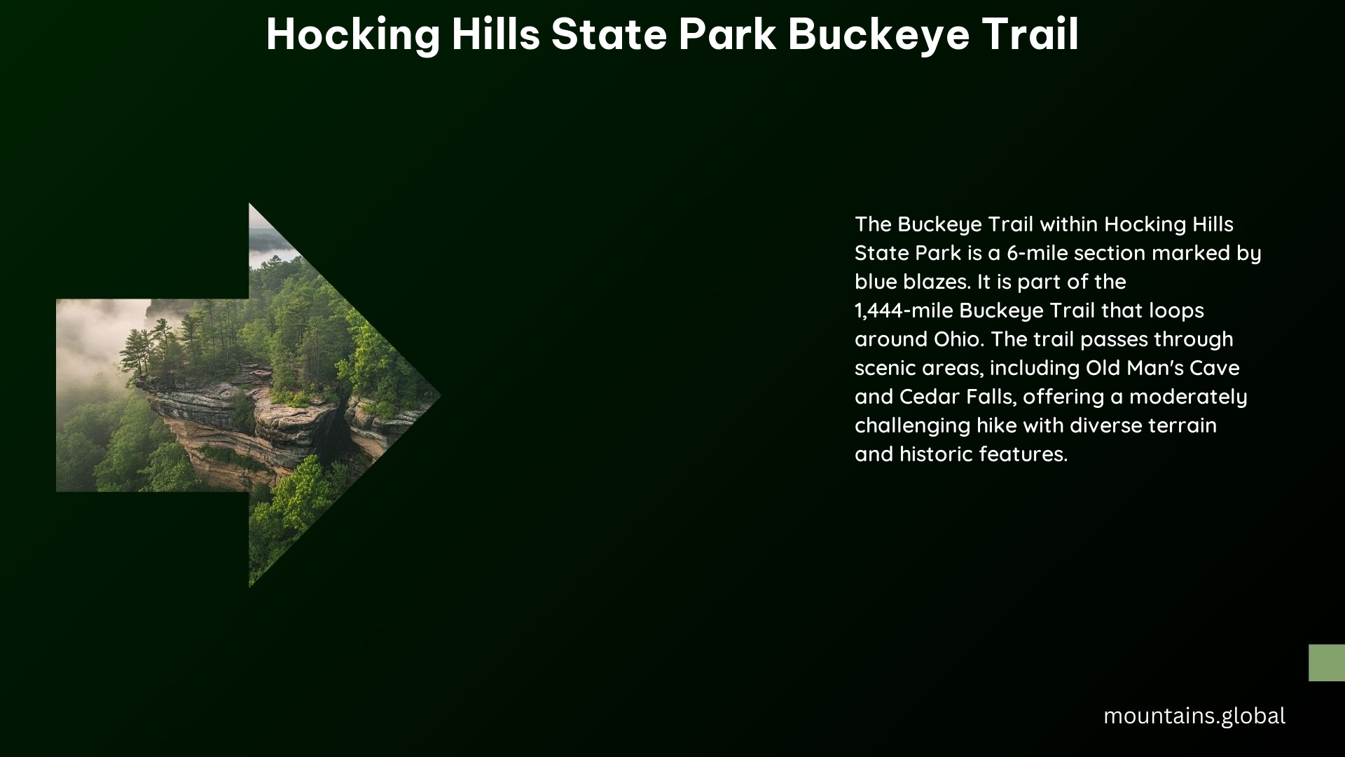
The trail winds through the most beautiful gorge in Ohio, showcasing twisted rock formations, hemlock forests, and captivating waterfalls.
Old Man’s Cave
One of the highlights of the trail is the visit to Old Man’s Cave, a massive rock shelter named after a hermit who lived there after the Civil War.
Cedar Falls
The trail also passes by Cedar Falls, a scenic waterfall that was mistakenly named after the hemlock trees in the area, which were thought to be cedar.
Maps and Guides
To ensure a successful and enjoyable hike, it is highly recommended to obtain a detailed map of the Buckeye Trail’s Old Man’s Cave Section from the Buckeye Trail Association. Additionally, the association provides electronic and printed maps and guides to help you navigate the trail.
Camping and Regulations
Camping facilities are available in some sections of the Buckeye Trail, managed by the Buckeye Trail Association. However, dispersed camping is not permitted on private or state lands without express permission.
The Buckeye Trail Association emphasizes the importance of following the Leave No Trace principles to minimize the impact of outdoor activities on the environment.
Additional Information
The Buckeye Trail Association partners with federal, state, and local agencies, as well as private landowners, to maintain and extend the trail. The trail’s history dates back to 1958 when it was first envisioned, with the first 20 miles built in Hocking County in 1959.
References
- Buckeye Trail Association. (n.d.). Old Man’s Cave, Hocking Hills, Ohio. Retrieved from https://www.buckeyetrail.org/short-hikes/shorthikes-omc1.php
- AllTrails. (n.d.). Buckeye Trail, Ohio. Retrieved from https://www.alltrails.com/trail/us/ohio/buckeye-trail-south-of-rocky-fork
- Buckeye Trail Association. (n.d.). How to Hike the Trail. Retrieved from https://www.buckeyetrail.org/how.php
- Ohio Department of Natural Resources. (n.d.). Buckeye Trail. Retrieved from https://ohiodnr.gov/go-and-do/outdoor/buckeye-trail
- Buckeye Trail Association. (n.d.). BT Overview Map. Retrieved from https://www.buckeyetrail.org/overview.php
