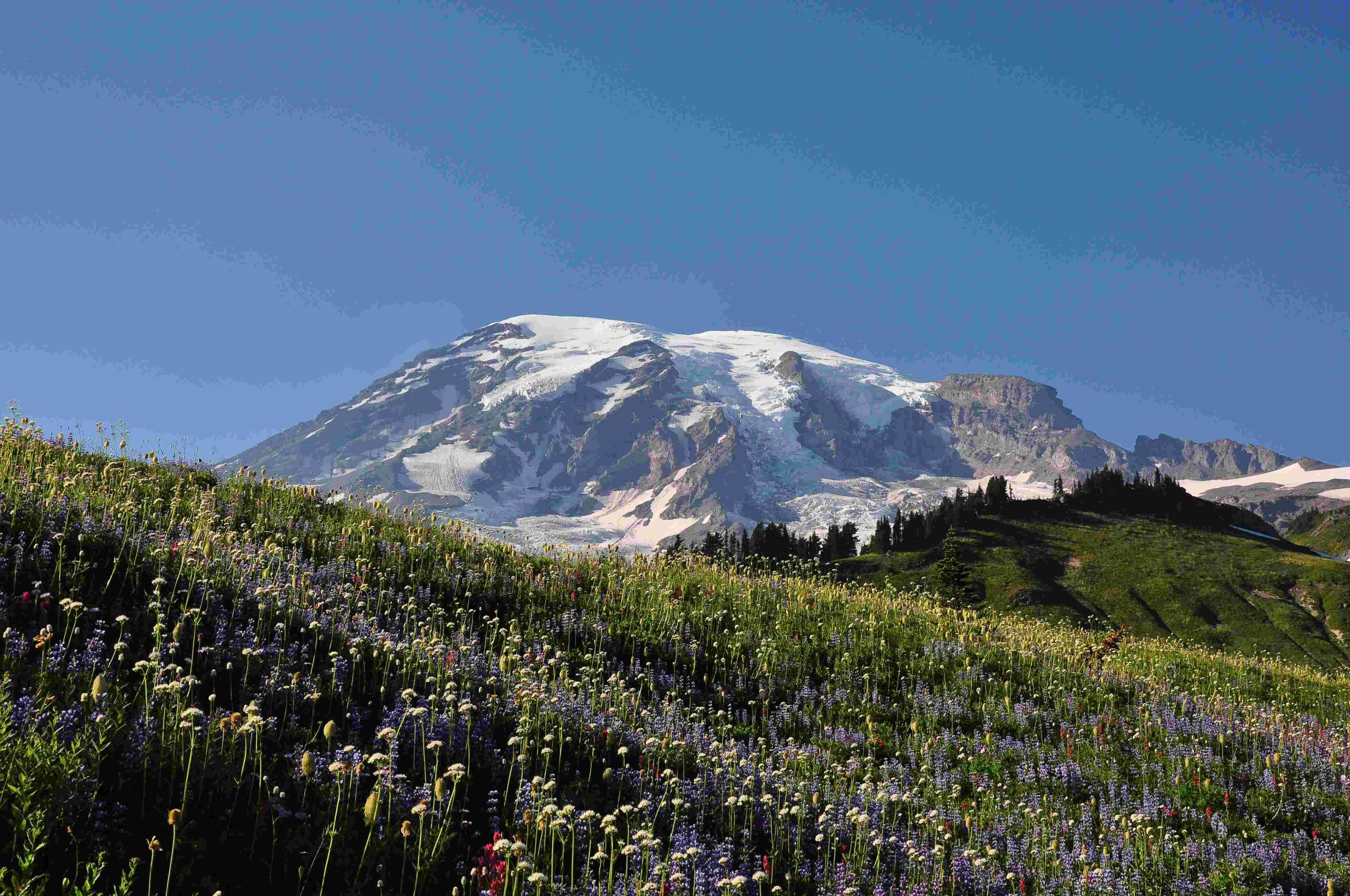
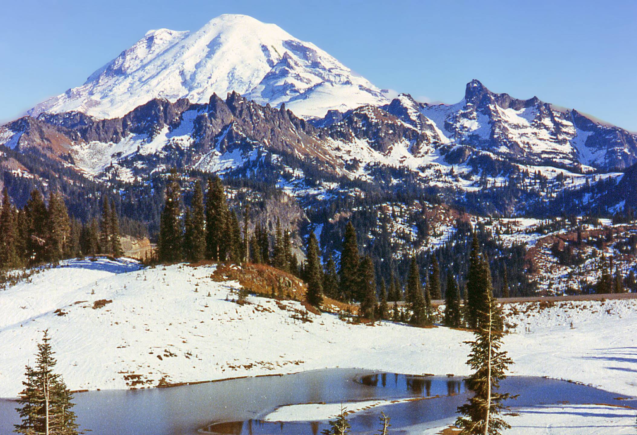
Mount Rainier National Park offers an extensive network of trails that showcase the park’s diverse landscapes, from lush forests to alpine meadows and glacial vistas. The Mount Rainier MPA (Multiple-use Planning Area) trails provide hikers with a range of options, from easy walks to challenging backcountry adventures. This guide explores the most popular trails, their features, and essential information for planning your hiking experience in this iconic Washington State park.
What are the Most Popular Mount Rainier MPA Trails?

Mount Rainier National Park boasts numerous trails catering to various skill levels and interests. Here are some of the most popular Mount Rainier MPA trails:
- Skyline Trail
- Length: 5.5 miles (loop)
- Elevation Gain: 1,700 feet
- Difficulty: Moderate to difficult
-
Highlights: Panoramic views of Mount Rainier, wildflower meadows, Panorama Point
-
Comet Falls Trail
- Length: 3.8 miles (out and back)
- Elevation Gain: 1,400 feet
- Difficulty: Moderate
-
Highlights: 320-foot Comet Falls, secondary waterfall
-
Naches Peak Loop
- Length: 3.3 miles (loop)
- Elevation Gain: 500 feet
- Difficulty: Easy
-
Highlights: Wildflower displays, panoramic views of Mount Rainier
-
Burroughs Mountain Trail
- Length: 9.4 miles (loop)
- Elevation Gain: 1,443 feet
- Difficulty: Moderate
-
Highlights: Alpine landscape, close-up views of Mount Rainier
-
Tolmie Peak Trail
- Length: 5.6 miles (out and back)
- Elevation Gain: 1,000 feet
- Difficulty: Moderate
- Highlights: Eunice Lake, Tolmie Peak Fire Lookout, Mount Rainier views
What are the Best Scenic Viewpoints Along Mount Rainier MPA Trails?

Mount Rainier MPA trails offer numerous breathtaking viewpoints. Here are some of the most notable:
- Panorama Point (Skyline Trail)
- GPS Coordinates: 46.7843° N, 121.7403° W
- Distance from Trailhead: 2.5 miles from Paradise Visitor Center
-
Features: 360-degree views of the Cascade Mountains and Mount Rainier
-
Reflection Lakes
- GPS Coordinates: 46.7833° N, 121.7433° W
- Distance from Trailhead: 1 mile from Henry M. Jackson Visitors Center
-
Features: Mirror-like reflections of Mount Rainier on calm days
-
Tolmie Peak Fire Lookout
- GPS Coordinates: 46.9367° N, 121.8833° W
- Distance from Trailhead: 2.8 miles from Mowich Lake trailhead
-
Features: Panoramic views of Eunice Lake and Mount Rainier
-
Burroughs Mountain
- GPS Coordinates: 46.9033° N, 121.7333° W
- Distance from Trailhead: 4.7 miles from Sunrise Visitor Center
- Features: Alpine tundra landscape, close-up views of Mount Rainier
How to Obtain Trail Maps and Check Trail Conditions?
To ensure a safe and enjoyable hiking experience on Mount Rainier MPA trails, follow these steps:
- Obtain Trail Maps:
- Download digital maps from the National Park Service website
-
Purchase physical maps at park visitor centers (e.g., Henry M. Jackson Visitors Center, Sunrise Visitor Center)
-
Check Trail Conditions:
- Visit the National Park Service website for up-to-date information
- Inquire at park visitor centers for recent trail reports
-
Be aware of seasonal closures and snow conditions, especially in early summer
-
Review Map Features:
- Trail lengths and elevation gains
- Difficulty ratings
- Notable landmarks and points of interest
- Snow-free periods and required permits or passes
What Amenities are Available at Mount Rainier MPA Trailheads?
Trailheads for Mount Rainier MPA trails offer various amenities to enhance your hiking experience:
| Amenity | Availability |
|---|---|
| Parking | Large lots at Paradise and Sunrise; can fill up quickly |
| Restrooms | Available at most major trailheads |
| Picnic Areas | Near some trailheads (e.g., Paradise, Sunrise) |
| Accessibility | Some trails partially accessible (e.g., paved Alta Vista Trail) |
What are the Best Mount Rainier MPA Trails for Beginners?
For those new to hiking or visiting Mount Rainier for the first time, consider these beginner-friendly trails:
- Bench and Snow Lakes Trail
- Length: 2.6 miles (round trip)
- Elevation Gain: 700 feet
- Difficulty: Easy to moderate
-
Highlights: Two alpine lakes, reflections of Mount Rainier, Myrtle Falls
-
Alta Vista Trail
- Length: 1.2 miles (round trip)
- Elevation Gain: 520 feet
- Difficulty: Easy to moderate
-
Features: Paved trail, views of Mount Rainier’s south face, Tatoosh range
-
Naches Peak Loop
- Length: 3.3 miles (loop)
- Elevation Gain: 500 feet
- Difficulty: Easy
- Highlights: Wildflower meadows, panoramic views of Mount Rainier
What are the Most Challenging Mount Rainier MPA Trails?
For experienced hikers seeking a challenge, these Mount Rainier MPA trails offer strenuous routes:
- Camp Muir Trail
- Length: 9 miles (round trip)
- Elevation Gain: 4,788 feet
- Difficulty: Strenuous
-
Highlights: Ends at Camp Muir, a base camp for summit climbers
-
Summerland Trail
- Length: 10.1 miles (out and back)
- Elevation Gain: 2,595 feet
- Difficulty: Moderate to difficult
-
Features: Forest, meadows, Panhandle Gap with panoramic views
-
Skyline Trail (full loop)
- Length: 5.5 miles (loop)
- Elevation Gain: 1,700 feet
- Difficulty: Moderate to difficult
- Highlights: Panoramic views, wildflower meadows, Panorama Point
What are the Best Mount Rainier MPA Trails for Wildflower Viewing?
Mount Rainier is renowned for its spectacular wildflower displays. Here are the best trails for wildflower enthusiasts:
- Skyline Trail (Paradise area)
- Peak Season: Late July to early August
-
Flowers: Lupines, paintbrush, asters, bistort
-
Naches Peak Loop (Chinook Pass area)
- Peak Season: Mid-July to mid-August
-
Flowers: Lupines, paintbrush, beargrass, avalanche lilies
-
Summerland Trail (Sunrise area)
- Peak Season: Late July to mid-August
- Flowers: Lupines, paintbrush, gentians, mountain heather
Remember to practice Leave No Trace principles and stay on designated trails to protect these delicate ecosystems.
How to Prepare for Hiking Mount Rainier MPA Trails?
To ensure a safe and enjoyable experience on Mount Rainier MPA trails, follow these preparation tips:
- Check weather forecasts and trail conditions before your hike
- Carry the Ten Essentials, including extra food, water, and layers
- Wear appropriate footwear and clothing for varying conditions
- Inform someone of your hiking plans and expected return time
- Obtain necessary permits for backcountry camping or climbing
- Be aware of wildlife safety guidelines, especially regarding bears
- Start early to avoid afternoon thunderstorms and crowded trails
- Carry a physical map and compass in addition to any GPS devices
By following these guidelines and respecting the natural environment, you’ll be well-prepared to explore the magnificent Mount Rainier MPA trails and create lasting memories in this iconic national park.
References:
1. Wheatless Wanderlust – Hiking In Mount Rainier National Park
2. Visit Rainier – Mt. Rainier Hikes & Hiking Trails
3. Uprooted Traveler – The 13 Best Mt. Rainier Hikes
