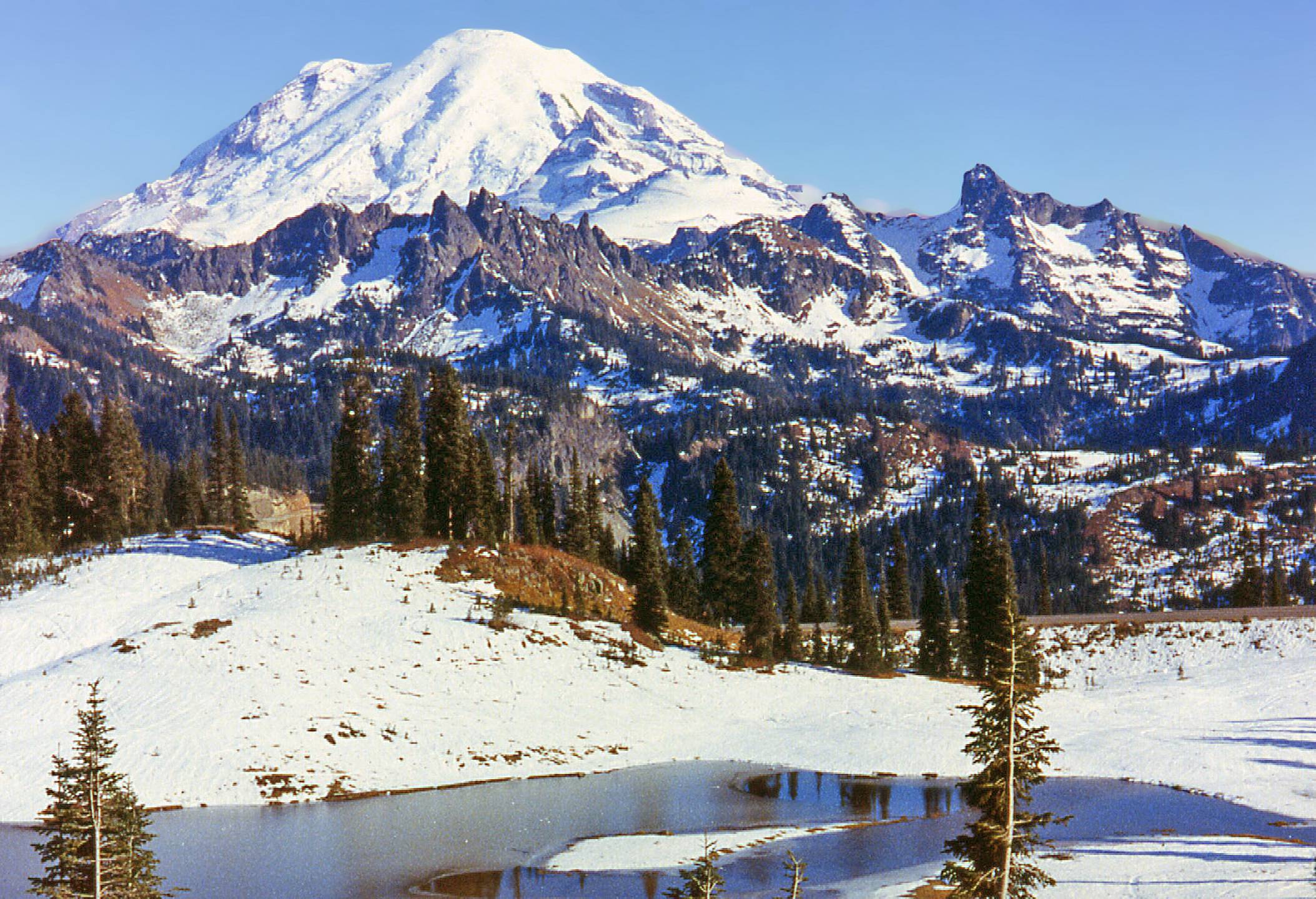
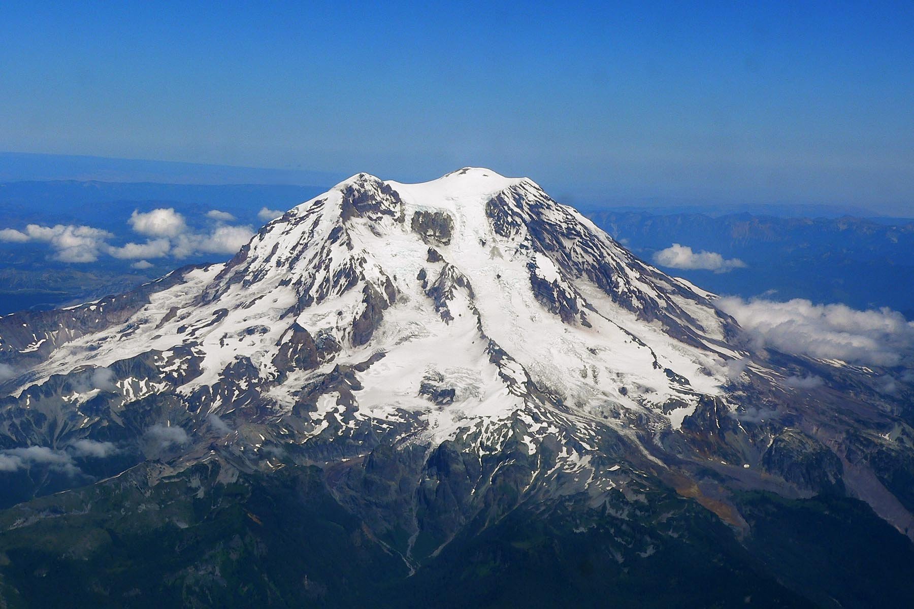
Mount Rainier driving loops offer breathtaking views of Washington’s iconic peak and surrounding landscapes. These scenic routes encircle Mount Rainier National Park, providing access to diverse ecosystems, glaciers, waterfalls, and historic sites. The primary loops include the Mount Rainier Loop and the Scenic Byways Loop, each offering unique experiences and viewpoints. This guide explores these routes, their key attractions, and practical information for planning your drive.
What are the Primary Mount Rainier Driving Loops?

1. Mount Rainier Loop (Circle Mount Rainier Tour)
The Mount Rainier Loop is a comprehensive driving route that encircles Mount Rainier National Park. Here are the key details:
-
Route
: Starts and ends in Enumclaw, WA
-
Highways
: SR 410, SR 123, and SR 706
-
Distance
: Approximately 147 miles
-
Estimated Driving Time
: About 5 hours (without stops)
Notable Landmarks:
-
Sunrise
-
Highest point accessible by car in the park
-
Offers views of Emmons Glacier and other Cascade volcanoes
-
Tipsoo Lake and Chinook Pass Summit
-
Known for its reflection of Mount Rainier
-
Access to the Pacific Crest Trail
-
Ricksecker Point Loop Drive
-
Views of Mount Rainier, Nisqually Glacier, and several other glaciers
-
Narada Falls
-
168-foot waterfall with a short walking trail
-
Grove of the Patriarchs
-
Old-growth forest with ancient trees
2. Mount Rainier Scenic Byways Loop
This loop combines the Chinook Scenic Byway and the White Pass Scenic Byway, covering the eastern edge of Mount Rainier National Park:
-
Route
: Includes highways SR 706, SR 123, and SR 410
-
Distance
: Approximately 129 miles
-
Estimated Driving Time
: About 3 hours (without stops)
Notable Landmarks:
-
Chinook Pass
-
Marked by a dramatic log and stone archway
-
Part of the Mather Memorial Parkway
-
Tipsoo Lake
-
Picturesque alpine lake with reflections of Mount Rainier
-
Grove of the Patriarchs
-
Old-growth forest with ancient trees
-
Bumping Lake
-
Offers camping, fishing, boating, and hiking opportunities
-
Edgar Rock
-
Viewpoint with a fascinating history
-
Four-mile round-trip trail
What are the Best Viewpoints Along Mount Rainier Driving Loops?

1. Sunrise
-
GPS Coordinates
: 46.9143° N, 121.4423° W
-
Elevation
: 6,400 feet
-
Accessibility
: Accessible by car via SR 410
-
Amenities
: Parking, restrooms, visitor center, hiking trails
2. Tipsoo Lake
-
GPS Coordinates
: 46.8693° N, 121.5193° W
-
Elevation
: Approximately 5,400 feet
-
Accessibility
: Accessible by car via SR 410; short walking trail around the lake
-
Amenities
: Parking, picnic area, restrooms
3. Ricksecker Point Loop Drive
-
GPS Coordinates
: 46.7833° N, 121.7333° W
-
Elevation
: Varies
-
Accessibility
: Accessible by car via a one-way road; open only in summer
-
Amenities
: Parking, viewpoints
4. Narada Falls
-
GPS Coordinates
: 46.7673° N, 121.7333° W
-
Elevation
: Approximately 3,900 feet
-
Accessibility
: Short walking trail from the parking area
-
Amenities
: Parking, restrooms
5. Grove of the Patriarchs
-
GPS Coordinates
: 46.7333° N, 121.5667° W
-
Elevation
: Approximately 2,000 feet
-
Accessibility
: Accessible via a short walking trail from the parking area
-
Amenities
: Parking, restrooms
What are the Suggested Itineraries for Mount Rainier Driving Loops?
1. Full Circle Mount Rainier Loop
-
Duration
: Full day (approximately 8-10 hours including stops)
-
Recommended Stops
:
-
Sunrise
-
Tipsoo Lake
-
Chinook Pass
-
Ricksecker Point
-
Narada Falls
-
Grove of the Patriarchs
-
Parking Facilities
: Available at each stop
-
Seasonal Considerations
: The road between Crystal Mountain Resort and Paradise is closed from November to May due to snow. The entire loop is usually snow-free by the end of May and remains open through October.
2. Mount Rainier Scenic Byways Loop
-
Duration
: Half to full day (approximately 5-8 hours including stops)
-
Recommended Stops
:
-
Chinook Pass
-
Tipsoo Lake
-
Grove of the Patriarchs
-
Bumping Lake
-
Edgar Rock
-
Parking Facilities
: Available at each stop
-
Seasonal Considerations
: The road closes each year due to winter snowfall from November to early June. The loop is usually snow-free by mid-June and remains open through late October.
What Travel Data and Additional Information Should I Know?
Entry Fees
Mount Rainier National Park requires an entrance fee, which can be paid at the park entrances. The current fee is $35 per vehicle for a 7-day pass.
Vehicle Restrictions
Some roads within the park have vehicle height restrictions. For example, the tunnel on SR 123 has a height limit of 13′ 1″.
Guided Tour Options
Various guided tour options are available, including ranger-led programs and private tour services. For more information, contact the Mount Rainier National Park visitor center or check the park’s official website.
What are the Best Times to Drive Mount Rainier Loops?
The best times to drive Mount Rainier loops are typically from late spring to early fall, with each season offering unique experiences:
-
Late Spring (May-June)
-
Wildflowers begin to bloom
-
Some snow may still be present at higher elevations
-
Less crowded than summer months
-
Summer (July-August)
-
Peak season with the best weather
-
All roads and facilities are usually open
-
Busiest time of year with more crowds
-
Early Fall (September-October)
-
Fall colors start to appear
-
Cooler temperatures and fewer crowds
-
Some facilities may begin to close in October
|
Season |
Pros |
Cons |
|---|---|---|
|
Late Spring |
Wildflowers, fewer crowds |
Some snow, limited access |
|
Summer |
Best weather, all facilities open |
Crowded, peak prices |
|
Early Fall |
Fall colors, fewer crowds |
Cooler weather, some closures |
How Should I Prepare for a Mount Rainier Driving Loop?
Proper preparation is key to enjoying your Mount Rainier driving loop experience. Here are some essential tips:
-
Check road conditions
: Visit the Mount Rainier National Park website for up-to-date information on road closures and conditions.
-
Fill up your gas tank
: There are limited gas stations within the park, so start with a full tank.
-
Pack essentials
: Bring water, snacks, a first-aid kit, and warm layers of clothing.
-
Wear appropriate footwear
: Even for short walks, sturdy shoes are recommended.
-
Bring a physical map
: Cell service can be limited in the park.
-
Start early
: To avoid crowds and make the most of daylight, especially if you’re doing a full loop.
-
Follow Leave No Trace principles
: Help preserve the park’s natural beauty for future visitors.
What Wildlife Might I Encounter on Mount Rainier Driving Loops?
Mount Rainier National Park is home to diverse wildlife. While driving, you might encounter:
-
Black bears
-
Elk
-
Deer
-
Mountain goats
-
Marmots
-
Various bird species
Remember to observe wildlife from a safe distance and never feed animals. Keep food stored securely in your vehicle to avoid attracting wildlife to parking areas.
Are There Any Hidden Gems Along Mount Rainier Driving Loops?
While the main attractions are well-known, there are some lesser-known spots worth exploring:
-
Mowich Lake
: The largest and deepest lake in Mount Rainier National Park, accessible via a gravel road.
-
Box Canyon
: A narrow gorge where the Cowlitz River has carved through ancient lava flows.
-
Reflection Lakes
: Often overlooked in favor of Tipsoo Lake, these lakes offer stunning reflections of Mount Rainier.
-
Carbon River Rain Forest
: One of the only inland temperate rainforests in the United States.
-
Longmire Museum
: A historic district with exhibits on the park’s natural and cultural history.
By exploring these hidden gems, you can enhance your Mount Rainier driving loop experience and discover some of the park’s lesser-known wonders.
References:

