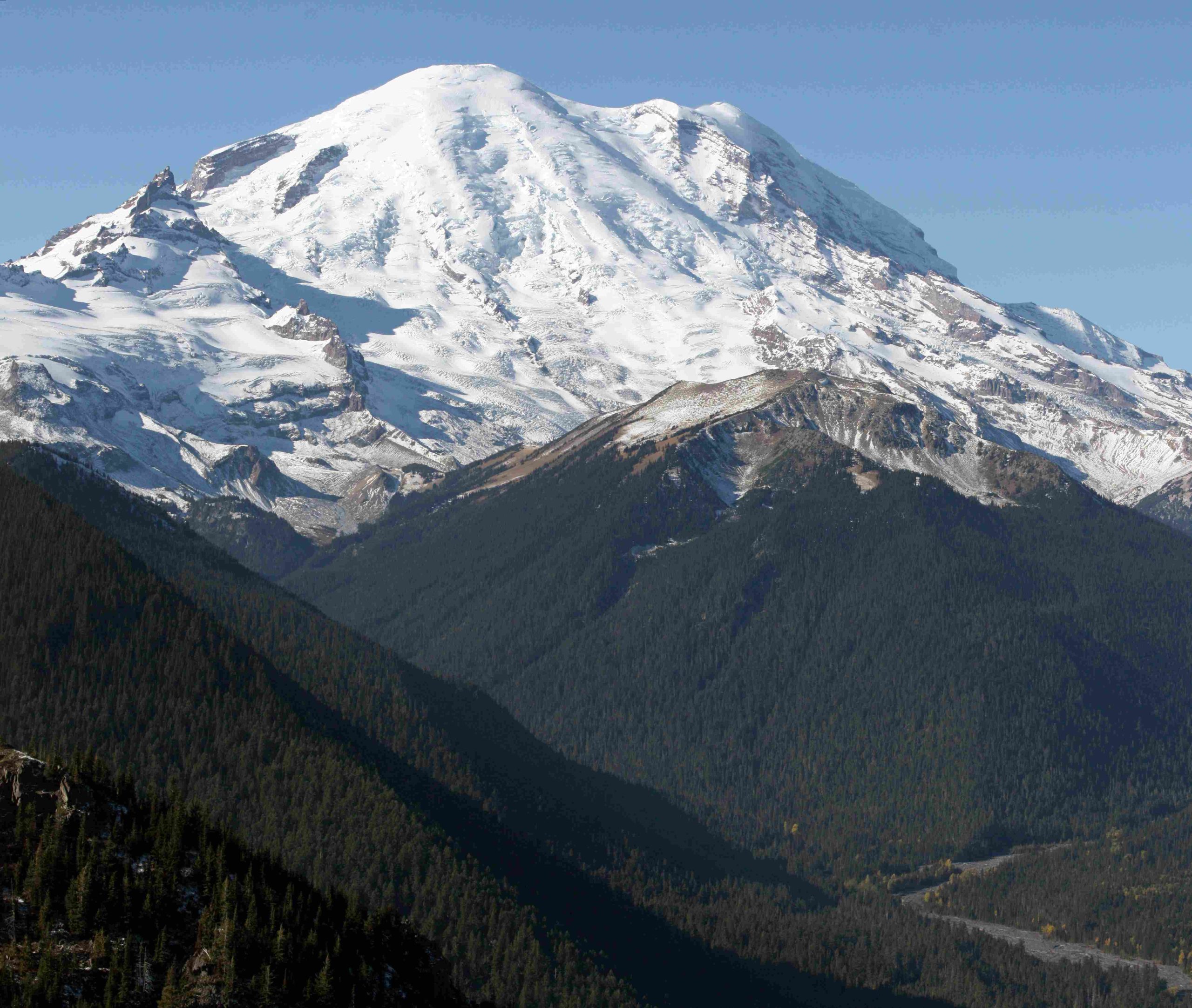
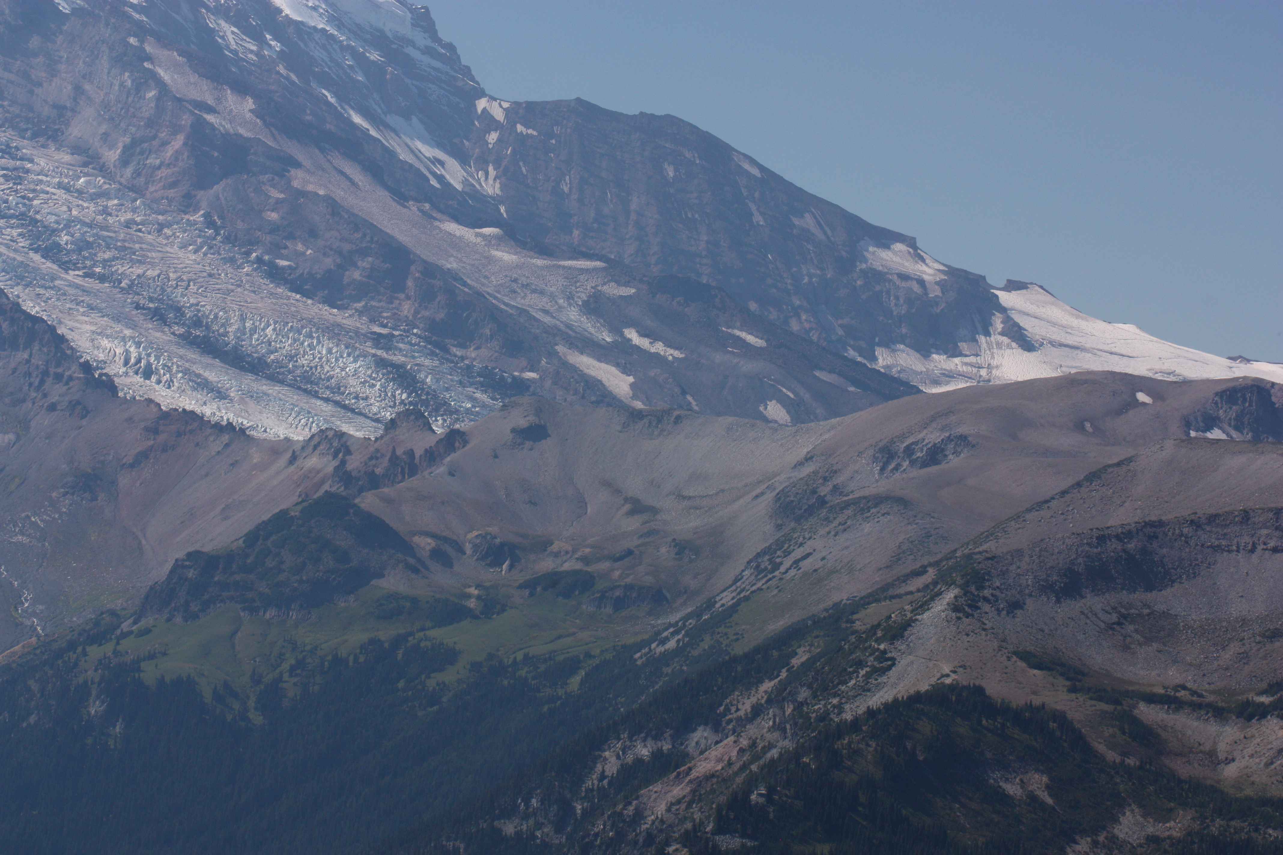
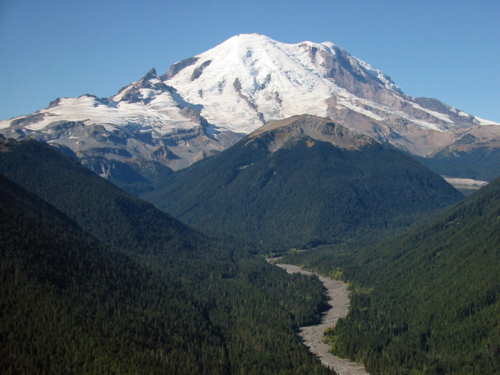
Mount Rainier, an iconic stratovolcano in Washington State, is subject to significant erosion primarily driven by its glaciers. This erosion process shapes the mountain’s landscape, creating deep valleys, canyons, and unique geological features. The glaciers on Mount Rainier move at varying rates, with some advancing up to 74 cm per day, resulting in substantial annual movement and erosion. This continuous glacial activity not only sculpts the mountain but also impacts local ecosystems and poses challenges for accessibility and conservation efforts.
What Are the Key Factors Driving Mount Rainier Erosion?

Mount Rainier’s erosion is primarily driven by the following factors:
- Glacial movement
- Meltwater streams
- Freeze-thaw cycles
- Volcanic activity
The interplay of these factors contributes to the dynamic erosion process on the mountain.
How Fast Are Mount Rainier’s Glaciers Eroding the Landscape?

The erosion rates on Mount Rainier vary depending on the specific glacier and location. Here are some key statistics:
- Nisqually Glacier: Moves up to 29 inches (74 cm) per day
- Average ice thickness: 70 meters in the ablation zone
- Centerline surface velocity: 160 m/yr near the equilibrium line, 30 m/yr near the terminus
- Basal sliding: Accounts for up to 90% of movement near the equilibrium line
These rapid movements contribute significantly to the erosion process on Mount Rainier.
What Is the Annual Sediment Discharge from Mount Rainier’s Glaciers?
The sediment discharge from Mount Rainier’s glaciers is substantial:
- Estimated annual suspended sediment: 278,000 tonnes
- Primary sources: Modern-day erosion and erosion of Neoglacial drift near glacier termini
- Major meltwater streams: Nisqually River, Kautz Creek, and Tahoma Creek
This sediment discharge plays a crucial role in shaping the surrounding landscape and downstream ecosystems.
How Has Glacial Erosion Shaped Mount Rainier’s Landscape?
Glacial erosion has created distinct features on Mount Rainier:
- Deep valleys and canyons
- Amphitheaters at valley heads
- V-shaped residual masses on lower slopes
- Increased slope of the central mountain mass
For example, the Emmons Glacier during the Pleistocene epoch:
– Length: Nearly 40 miles (60 km)
– Thickness: 1,000 feet (300 m)
– Impact: Carved out significant portions of the White River Valley
What Are the Impacts of Mount Rainier Erosion on Local Ecosystems?
The erosion and glacial retreat on Mount Rainier significantly impact local ecosystems:
- Habitat changes for species dependent on glacial streams
- Alterations in water supply for aquatic ecosystems
- Shifts in vegetation patterns and wildlife distribution
- Exposure of new terrain for colonization by pioneer species
These changes can have both positive and negative effects on biodiversity and ecosystem stability.
How Accessible Are Mount Rainier’s Erosion Sites to Visitors?
Accessibility to Mount Rainier’s erosion sites varies depending on the location and season:
Nisqually Glacier
- Parking: Paradise Visitor Center
- Trail: Nisqually Vista Trail
- Difficulty: Moderate, challenging in winter
Emmons Glacier
- Parking: White River Campground
- Trail: Glacier Basin Trail
- Difficulty: Strenuous, significant elevation gain
Seasonal Considerations
| Season | Accessibility | Considerations |
|---|---|---|
| Winter | Limited | Heavy snow, avalanche risks |
| Summer | Best | Crowded trails, potential restrictions |
Visitors should always check with park rangers for current trail conditions and accessibility information.
What Guided Tours Are Available to Explore Mount Rainier Erosion?
Several guided tour options are available for those interested in exploring Mount Rainier’s erosion:
- Ranger-led Programs
- Cost: Free (may require registration)
- Focus: Glaciers and landscape impact
-
Schedule: Check park website for availability
-
Private Guide Services
- Provider: Mount Rainier Climbing Guides
- Options: Day trips to multi-day expeditions
- Cost Range:
- Day trips: $200 – $500 per person
- Multi-day expeditions: $1,000 – $2,000+ per person
- Points of Interest: Nisqually, Emmons, and Carbon Glaciers
These guided tours offer in-depth experiences and expert knowledge about Mount Rainier’s erosion processes and their impact on the landscape.
How Does Climate Change Affect Mount Rainier Erosion?
Climate change is having a significant impact on Mount Rainier’s erosion processes:
- Accelerated glacial retreat
- Increased meltwater production
- More frequent extreme weather events
- Changes in freeze-thaw cycles
These factors are likely to intensify erosion rates and alter the mountain’s landscape more rapidly in the coming years.
What Conservation Efforts Address Mount Rainier Erosion?
Several conservation efforts are underway to address Mount Rainier erosion:
- Monitoring programs to track glacial movement and retreat
- Erosion control measures in high-risk areas
- Habitat restoration projects in affected ecosystems
- Public education initiatives on the impacts of climate change and erosion
These efforts aim to mitigate the negative impacts of erosion and preserve Mount Rainier’s unique landscape for future generations.
Mount Rainier’s erosion is a complex and ongoing process that shapes the mountain’s landscape, impacts local ecosystems, and presents challenges for conservation and accessibility. Understanding these processes is crucial for managing the park, protecting its ecosystems, and ensuring safe and sustainable visitor experiences.
References:
1. Some implications of sediment studies for glacial erosion on Mount Rainier
2. Mount Rainier – Wikipedia
3. Mount Rainier Glaciers – National Park Service
4. Mount Rainier National Park – Official Website
5. Climate Change and Mount Rainier – National Park Service

