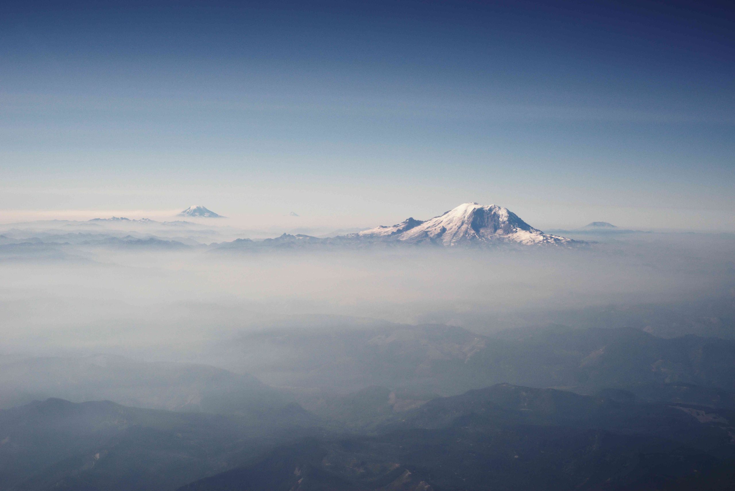
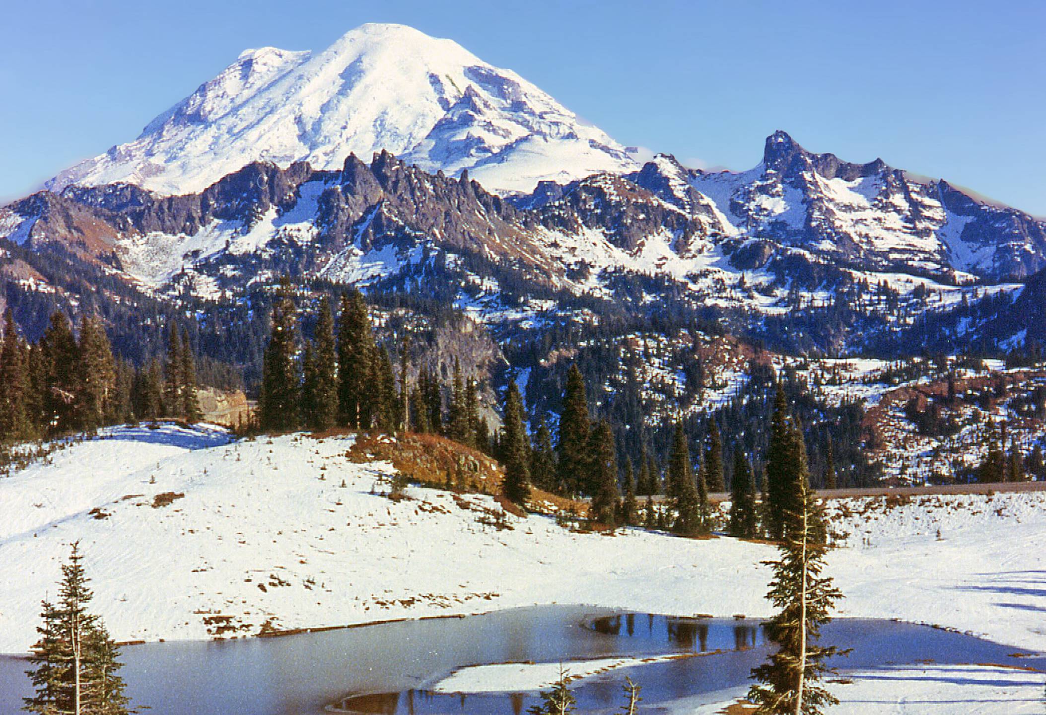
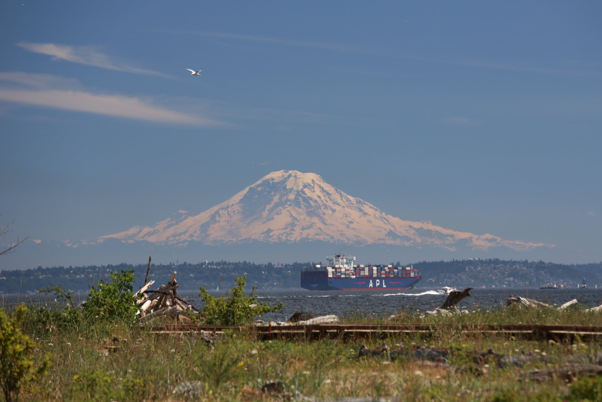
Mount Rainier from the air offers a spectacular perspective of Washington’s iconic peak. Aerial views reveal the mountain’s massive glaciers, rugged terrain, and surrounding wilderness in stunning detail. From chartered flights to helicopter tours, experiencing Mount Rainier from above provides unparalleled vistas of this majestic volcano and its diverse ecosystems. Aerial photography opportunities abound, allowing visitors to capture the mountain’s grandeur from unique vantage points inaccessible by land.
Mount Rainier’s towering presence dominates the landscape of Washington state, but to truly appreciate its magnificence, one must take to the skies. Here are some of the best ways to experience Mount Rainier from the air:
What Types of Aerial Tours Are Available?

- Scenic Flights: Fixed-wing aircraft tours offering panoramic views
- Helicopter Tours: More maneuverable, allowing closer approaches to the mountain
- Hot Air Balloon Rides: For a serene, floating perspective (weather permitting)
- Glider Flights: Silent soaring for the adventurous
Each option provides a unique experience, with varying durations, costs, and perspectives.
What Can You Expect to See on an Aerial Tour?

- Massive glaciers carving the mountain’s flanks
- Pristine alpine lakes reflecting the peak
- Lush old-growth forests surrounding the base
- Dramatic ridgelines and volcanic features
- Wildflower meadows (seasonal)
- Wildlife from a bird’s eye view (with luck)
How Long Do Aerial Tours Typically Last?
| Tour Type | Duration | Approximate Cost |
|---|---|---|
| Scenic Flight | 1-2 hours | $200-$400 |
| Helicopter Tour | 30 min – 1 hour | $300-$600 |
| Hot Air Balloon | 3-4 hours | $200-$300 |
| Glider Flight | 30 min – 1 hour | $150-$250 |
Prices may vary based on season, group size, and specific tour offerings.
What Are the Best Conditions for Aerial Photography of Mount Rainier?
Capturing Mount Rainier from the air requires careful planning and consideration of various factors:
When Is the Best Time of Year for Aerial Photography?
- Summer (July-September): Clearest skies, wildflowers in bloom
- Winter (December-February): Snow-covered landscapes, dramatic contrasts
- Spring/Fall: Unique lighting conditions, changing colors
What Weather Conditions Are Ideal?
- Clear skies with minimal cloud cover
- Early morning or late afternoon for optimal lighting
- Stable air for smoother flights
What Camera Equipment Should You Bring?
- Wide-angle lens for expansive views
- Telephoto lens for detailed shots
- Polarizing filter to reduce glare
- Fast shutter speeds to combat vibration
How Can You Prepare for an Aerial Tour of Mount Rainier?
Proper preparation ensures a safe and enjoyable experience:
What Should You Wear?
- Layers for temperature changes
- Comfortable, non-restrictive clothing
- Closed-toe shoes
What Items Should You Bring?
- Camera and spare batteries
- Motion sickness medication (if prone)
- Sunglasses and sunscreen
- Water and light snacks (if allowed)
Are There Any Health Considerations?
- Inform the tour operator of any medical conditions
- Be aware of altitude effects, especially on longer flights
- Consider ear protection for noise reduction
What Are the Regulations for Drone Photography Around Mount Rainier?
Drone use near Mount Rainier is strictly regulated:
Where Can You Fly Drones?
- Not permitted within Mount Rainier National Park boundaries
- Allowed in some surrounding areas with proper permits
What Permits Are Required?
- FAA registration for drones over 0.55 lbs
- Special use permits for commercial photography
- Adherence to local and state regulations
What Are the Penalties for Violations?
- Fines up to $5,000
- Possible confiscation of equipment
- Potential legal action
How Does Aerial Viewing Compare to Ground-Based Experiences?
Aerial and ground-based experiences offer distinct perspectives:
What Are the Advantages of Aerial Viewing?
- Unobstructed 360-degree views
- Access to remote areas
- Appreciation of the mountain’s scale and surrounding landscape
What Can You See Better from the Ground?
- Detailed flora and fauna
- Geological features up close
- Immersive forest and meadow experiences
How Do the Costs Compare?
Aerial tours are generally more expensive but offer unique experiences in a shorter time frame. Ground-based activities like hiking and camping provide longer, more intimate encounters with the environment at a lower cost.
What Impact Does Aerial Tourism Have on Mount Rainier’s Ecosystem?
Balancing tourism with conservation is crucial:
What Are the Environmental Concerns?
- Noise pollution affecting wildlife
- Carbon emissions from aircraft
- Potential for accidents in sensitive areas
How Are These Impacts Mitigated?
- Strict flight path regulations
- Limits on daily tour numbers
- Use of more fuel-efficient aircraft
What Can Tourists Do to Minimize Their Impact?
- Choose eco-friendly tour operators
- Participate in carbon offset programs
- Follow all park and tour guidelines
Experiencing Mount Rainier from the air offers a unique perspective on this natural wonder. Whether through a scenic flight, helicopter tour, or carefully regulated drone photography, aerial views provide unforgettable memories and stunning visuals of one of America’s most iconic mountains. By understanding the options, preparing adequately, and respecting the environment, visitors can enjoy this majestic peak from a truly bird’s eye view.
References:
1. Mount Rainier National Park Official Website
2. Washington State Tourism Board
3. FAA Drone Regulations
4. Leave No Trace Center for Outdoor Ethics

