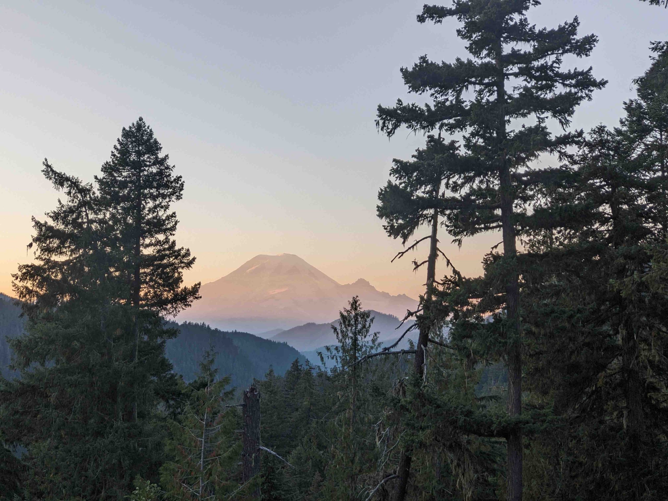
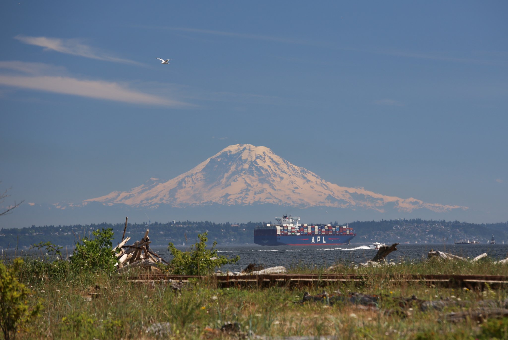
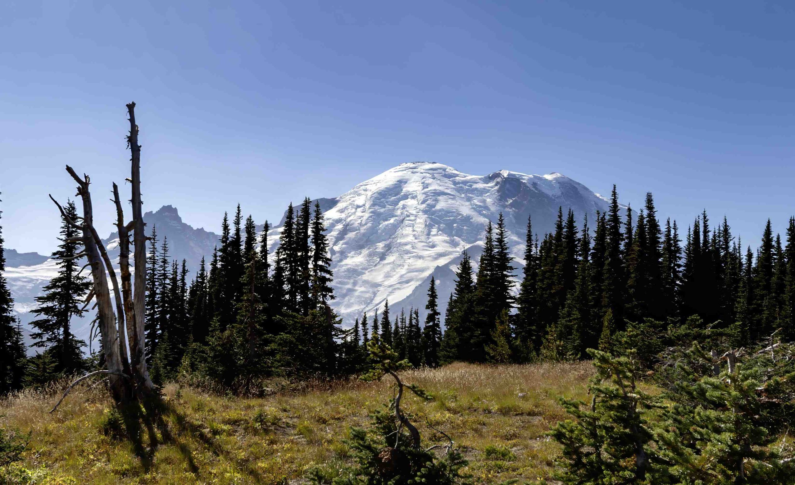
Mount Rainier fumaroles are fascinating geological features found on Washington’s iconic volcano. These vents emit steam and volcanic gases, formed by the interaction of magma or hot fluids with groundwater or ice. Located primarily in the glacier-covered areas of the mountain, Mount Rainier’s fumaroles play a crucial role in monitoring volcanic activity and provide unique insights into the mountain’s geological processes. This guide explores their locations, activity levels, formation, and accessibility.
What Are the Specific Locations of Mount Rainier Fumaroles?

Mount Rainier hosts several fumaroles, primarily in its glacier-covered regions. Here are some key locations:
- East Crater Fumarole 1
- GPS Coordinates: 46.8539967, -121.758152
- Location: Remote area within glacier fields
-
Accessibility: Requires advanced climbing and glacier travel skills
-
Summit Area Fumaroles
- General Location: Around the summit and upper flanks
-
Accessibility: Limited to experienced climbers with proper equipment
-
Ice Cave Fumaroles
- Location: Within glacier systems
- Unique Feature: Create complex ice cave networks
| Fumarole Location | Accessibility | Proximity to Visitor Centers |
|---|---|---|
| East Crater | Very Difficult | Far from main centers |
| Summit Area | Difficult | Remote, high elevation |
| Ice Caves | Challenging | Within glacier systems |
What Are the Current Activity Levels of Mount Rainier Fumaroles?

The United States Geological Survey (USGS) continuously monitors Mount Rainier’s fumarole activity. Current observations include:
- Temperature Ranges: Typically from near-boiling point to several hundred degrees Celsius
- Gas Emissions: Include sulfur dioxide, carbon dioxide, and hydrogen sulfide
- Recent Activity: No significant changes or eruptions reported
It’s important to note that specific temperature data for individual fumaroles is not readily available to the public.
How Do Mount Rainier Fumaroles Form?
The formation of Mount Rainier fumaroles is a complex geological process:
- Magma Interaction: Hot magma or fluids beneath the surface
- Water Contact: Interaction with groundwater or glacial ice
- Steam Generation: Heat causes water to vaporize
- Gas Emission: Volcanic gases mix with steam and escape through vents
Historical Timeline:
- Fumaroles likely existed for thousands of years
- Significant event: Osceola Mudflow (~5,000 years ago) potentially created new fumarole pathways
What Visitor Amenities Are Available for Viewing Fumaroles?
Due to the remote and hazardous nature of fumarole locations, direct viewing amenities are limited:
- Parking: Available at main visitor centers (Paradise, Sunrise)
- Safety Regulations: Strict guidelines for climbers and researchers
- Tours: No specific fumarole viewing tours due to safety concerns
Visitor Recommendations:
- Obtain necessary permits for climbing
- Plan expeditions during summer months for better weather
- Hire experienced guides for glacier travel
How Does Fumarole Activity Impact Mount Rainier’s Ecosystem?
Mount Rainier’s fumaroles play a significant role in shaping the mountain’s unique ecosystem:
- Microhabitats: Create warm areas in otherwise frigid environments
- Specialized Flora: Support heat-loving bacteria and unique plant species
- Ice Cave Formation: Contribute to the development of complex glacier cave systems
What Scientific Research Is Conducted on Mount Rainier Fumaroles?
Ongoing research on Mount Rainier’s fumaroles includes:
- Gas Composition Analysis: Monitoring changes in volcanic gas emissions
- Temperature Tracking: Long-term temperature trends of fumarole vents
- Geological Mapping: Documenting the distribution and characteristics of fumarole fields
This research is crucial for:
– Volcanic activity prediction
– Understanding long-term geological processes
– Assessing potential hazards to surrounding communities
How Do Mount Rainier Fumaroles Compare to Other Volcanic Fumaroles?
Mount Rainier’s fumaroles have unique characteristics compared to other volcanic systems:
| Feature | Mount Rainier Fumaroles | Other Volcanic Fumaroles |
|---|---|---|
| Environment | Glacial setting | Varied (desert, tropical) |
| Temperature | Generally cooler | Can be extremely hot |
| Accessibility | Limited by glaciers | Often more accessible |
| Gas Composition | Influenced by glacial melt | Varies by volcanic system |
What Safety Precautions Are Necessary When Observing Fumaroles?
For those authorized to observe Mount Rainier fumaroles up close:
- Proper Equipment: Use specialized gear for glacier travel
- Gas Monitoring: Carry gas detection equipment to avoid toxic fume exposure
- Thermal Protection: Wear appropriate clothing for extreme temperature variations
- Expert Guidance: Always travel with experienced guides or researchers
Remember, casual visitors should not attempt to access fumarole areas due to extreme dangers.
How Do Fumaroles Contribute to Mount Rainier’s Volcanic Hazard Assessment?
Fumaroles are essential indicators in assessing Mount Rainier’s volcanic hazards:
- Early Warning System: Changes in fumarole activity can signal potential eruptions
- Gas Composition: Shifts in emitted gases may indicate magma movement
- Ground Deformation: Fumarole locations can reveal changes in the mountain’s structure
This information is crucial for:
– Developing evacuation plans
– Updating hazard maps
– Informing local communities about potential risks
Mount Rainier’s fumaroles, while not easily accessible to the general public, remain a fascinating and crucial aspect of this active volcano. Their study and monitoring contribute significantly to our understanding of volcanic processes and help ensure the safety of surrounding communities.

