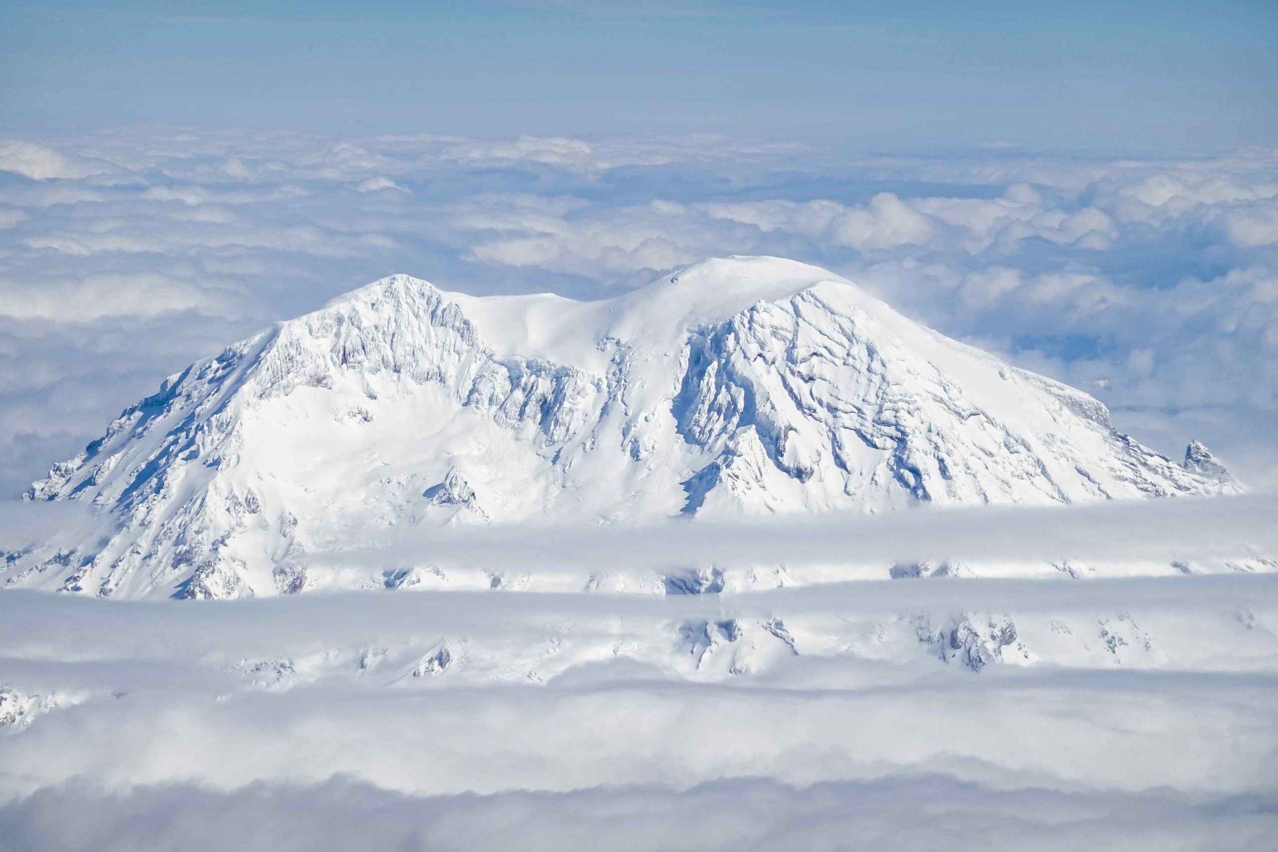
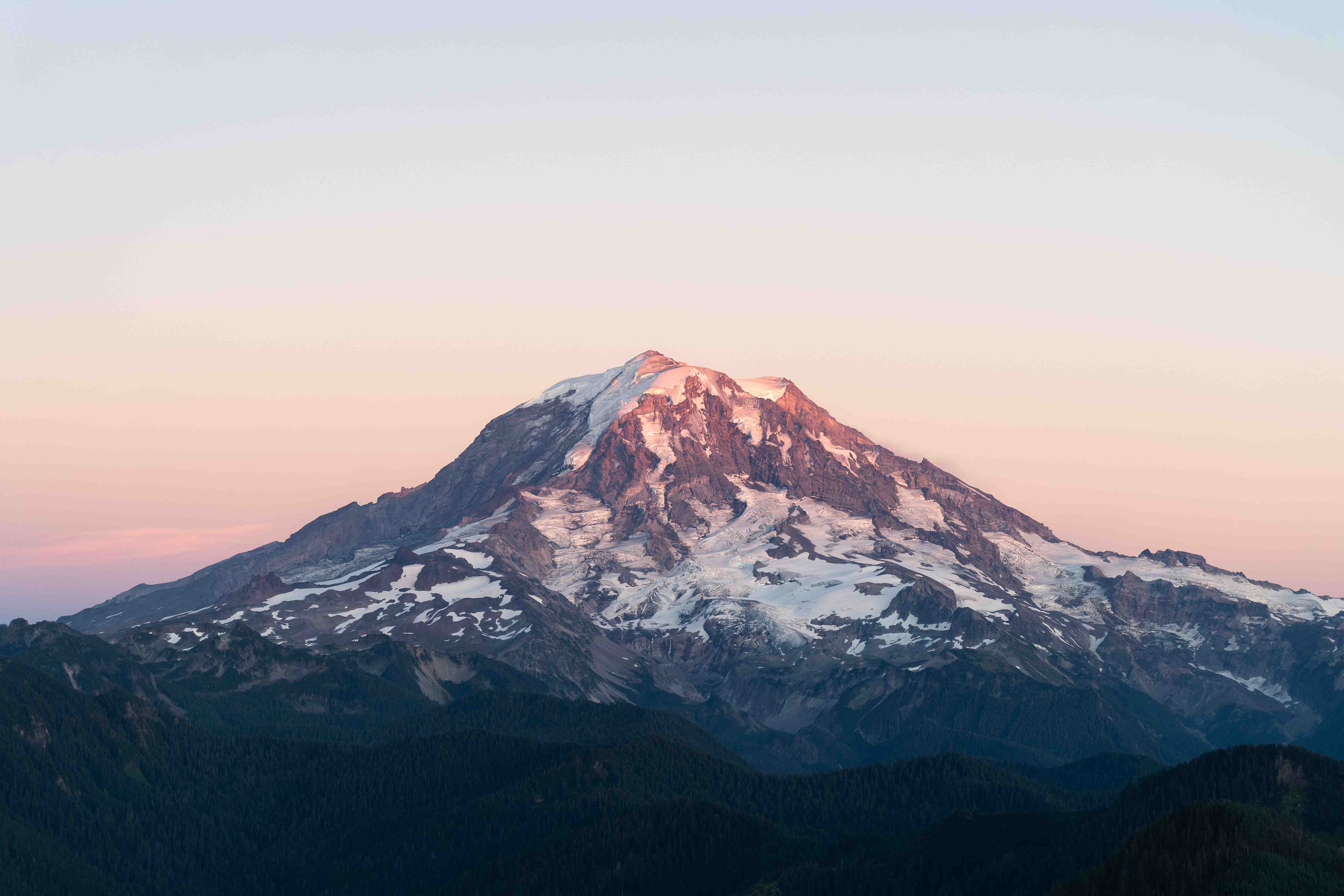
Mount Rainier hike elevation gain varies significantly across different trails, ranging from moderate 600-foot climbs to challenging 22,000-foot ascents on the Wonderland Trail. Popular routes like the Skyline Trail Loop offer a 1,450-foot elevation gain, while more strenuous hikes can see daily gains exceeding 3,500 feet. Understanding these elevation changes is crucial for hikers to prepare adequately and choose trails that match their fitness levels and experience.
What Are the Key Statistics for Mount Rainier Hike Elevation Gain?

Mount Rainier offers a diverse range of hiking experiences, each with its unique elevation profile. Here are some key statistics for popular trails:
Wonderland Trail
- Total Elevation Gain: Approximately 22,000 feet (6,700 meters)
- Highest Point: Panhandle Gap at 6,750 feet (2,060 meters)
- Lowest Point: Ipsut Creek Campground at 2,320 feet (710 meters)
- Average Daily Elevation Gain/Loss: Over 3,500 feet
Skyline Trail Loop
- Total Elevation Gain: 1,450 feet (442 meters)
- Highest Point: 6,800 feet (2,073 meters)
- Trail Length: 5.5 miles roundtrip
Other Notable Trails
- Bench and Snow Lakes Trail
- Elevation Gain: 600 feet (183 meters)
-
Trail Length: 2.4 miles out and back
-
Pinnacle Peak Trail
-
Elevation Gain: 1,600 feet (488 meters)
-
Alta Vista Trail
- Elevation Gain: 600 feet (183 meters)
How Does the Elevation Profile Vary Across Different Mount Rainier Trails?

The elevation profile of Mount Rainier trails can vary dramatically, offering hikers a range of experiences from gentle climbs to challenging ascents. Let’s examine the profiles of some popular trails:
Wonderland Trail
- Total Distance: 93 miles (150 km)
- Elevation Gain per Mile: Approximately 236 feet
- Key Features:
- Multiple starting points with varying elevations
- Highest point at Panhandle Gap (6,750 feet)
- Significant daily elevation changes, often exceeding 3,500 feet
Skyline Trail Loop
- Elevation Gain per Mile: Approximately 264 feet
- Profile Characteristics:
- Starts at Paradise parking lot (5,400 feet)
- Initial steep climb followed by more gradual ascent
- Reaches 6,800 feet near Panorama Point
Bench and Snow Lakes Trail
- Elevation Gain per Mile: Approximately 250 feet
- Unique Features:
- Begins with a 200-foot climb via stairs
- Descends to parking lot level before ascending to Snow Lake
What Are the Specific Elevation Changes on Mount Rainier’s Most Popular Hikes?
Understanding the specific elevation changes on Mount Rainier’s trails is crucial for hikers to prepare adequately. Here’s a detailed breakdown:
Wonderland Trail
- Starting Elevation: Varies by trailhead, typically around 3,200 feet
- Ending Elevation: Varies, highest point at 6,750 feet (Panhandle Gap)
- Total Ascent: Approximately 22,000 feet over the entire trail
- Notable Changes: Passes through various life zones from lowland forests to subalpine meadows
Skyline Trail Loop
- Starting/Ending Elevation: Paradise parking lot at 5,400 feet
- Highest Point: 6,800 feet at Panorama Point
- Total Ascent: 1,450 feet
Bench and Snow Lakes Trail
- Starting/Ending Elevation: Approximately 4,200 feet
- Total Ascent: 600 feet
- Key Features: Initial 200-foot climb, followed by descent and another ascent to Snow Lake
How Accessible Are Mount Rainier Trails with Significant Elevation Gain?
Accessibility of Mount Rainier trails varies based on several factors:
Parking and Trailhead Access
- Wonderland Trail
- Multiple trailheads including Longmire, Mowich Lake, and Sunrise parking area
-
Varied accessibility depending on chosen starting point
-
Skyline Trail Loop
- Starts at the well-developed Paradise parking lot
-
Highly accessible for most visitors
-
Bench and Snow Lakes Trail
- Begins near the Paradise parking area
- Generally accessible during peak season
Seasonal Considerations
- Wonderland Trail: Often snow-covered until mid-July, potential for early snow in September
- Skyline Trail Loop: Best hiked during July and August when trail conditions are optimal
- Bench and Snow Lakes Trail: Accessible in summer, but may have snow in early season
What Should Hikers Consider When Planning for Mount Rainier Hike Elevation Gain?
When planning a hike on Mount Rainier, consider the following:
- Physical Fitness: Match the trail’s elevation gain to your fitness level
- Acclimatization: Allow time to adjust to higher altitudes
- Gear: Bring appropriate equipment for steep ascents and varied terrain
- Weather: Check forecasts and be prepared for rapid changes
- Trail Conditions: Research current conditions, especially for snow levels
- Time Management: Plan for slower pace at higher elevations
- Water and Nutrition: Carry sufficient supplies for increased exertion
How Can Hikers Prepare for the Elevation Gain on Mount Rainier Trails?
Preparing for Mount Rainier’s elevation gain requires:
- Physical Training:
- Cardiovascular exercises (running, cycling, swimming)
- Strength training for legs and core
-
Practice hikes on steep terrain
-
Mental Preparation:
- Research trail difficulties and elevation profiles
-
Set realistic expectations and goals
-
Gear Selection:
- Sturdy hiking boots with good ankle support
- Trekking poles for balance on steep sections
-
Layered clothing for changing temperatures
-
Altitude Acclimation:
- Arrive a day or two early to adjust to the base elevation
-
Start with shorter, lower elevation hikes before attempting more challenging routes
-
Nutrition and Hydration:
- Pack high-energy, easily digestible snacks
- Carry more water than you think you’ll need
- Consider electrolyte supplements for long hikes
By thoroughly understanding and preparing for the mount rainier hike elevation gain, hikers can ensure a safer, more enjoyable experience on this iconic mountain’s diverse and challenging trails.
References:
1. https://en.wikipedia.org/wiki/Wonderland_Trail
2. https://www.wta.org/go-hiking/hikes/skyline-trail-loop
3. https://visitrainier.com/wonderland-trail-overview/
