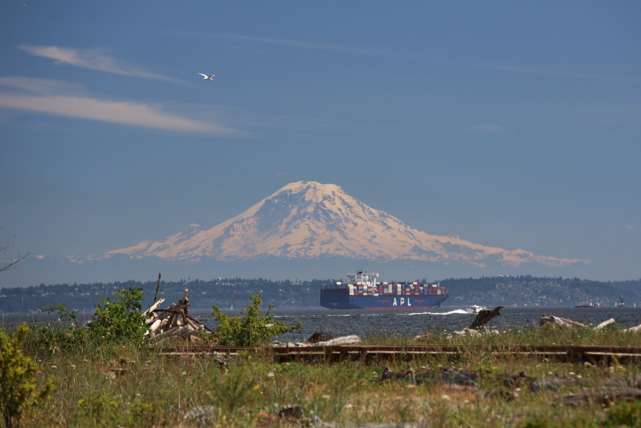
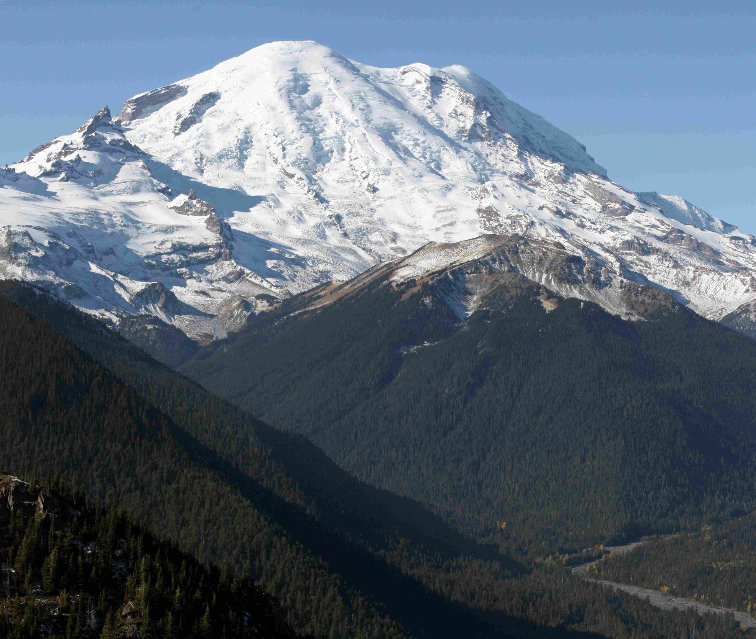
Mount Rainier lahar hazard zones are areas at risk of destructive mudflows originating from the volcano. These zones extend through eleven river valleys draining Mount Rainier, with the Puyallup and Nisqually River valleys being most susceptible. Over 150,000 people live on historic lahar deposits in the Puget Sound lowlands. The USGS uses advanced modeling to map these hazard zones, which inform evacuation routes and emergency protocols for the surrounding communities.
What Are the Geographical Boundaries of Mount Rainier Lahar Hazard Zones?

Mount Rainier’s lahar hazard zones encompass a significant area surrounding the volcano, primarily following the paths of major river systems. The geographical boundaries include:
- Puyallup River Valley
- Nisqually River Valley
- White River Valley
- Carbon River Valley
- Cowlitz River Valley
- Mowich River Valley
These zones extend from the volcano’s slopes down to the Puget Sound lowlands, including populated areas such as:
- Orting
- Puyallup
- Sumner
- Auburn
- Kent
- Tacoma
The hazard zones reach as far as Commencement Bay and the Port of Tacoma, and in some scenarios, could potentially affect Elliott Bay and the Port of Seattle.
What Elevation Ranges Are Most at Risk in Mount Rainier Lahar Hazard Zones?

The risk of lahar impact varies with elevation, but generally:
- High-Risk Areas: Lower elevation regions, particularly in river valleys and floodplains
- Moderate-Risk Areas: Mid-elevation slopes and terraces adjacent to river valleys
- Lower-Risk Areas: Higher elevation areas away from major drainage systems
| Elevation Range | Risk Level | Typical Locations |
|---|---|---|
| 0-500 feet | High | Valley floors, coastal plains |
| 500-1500 feet | Moderate | Valley walls, lower slopes |
| 1500+ feet | Lower | Upper slopes, ridges |
It’s important to note that even areas at higher elevations can be at risk if they are in the path of a potential lahar flow.
What Historical Lahar Events Have Shaped Mount Rainier’s Hazard Zones?
Mount Rainier has a long history of lahar activity, which has significantly influenced the current hazard zone mapping. Key historical events include:
- Osceola Mudflow: Occurred approximately 5,600 years ago
- Covered an area of about 550 km²
-
One of the largest known lahars from Mount Rainier
-
Electron Mudflow: Took place about 500 years ago
- Traveled down the Puyallup River Valley
-
Reached as far as the current location of Orting
-
National Lahar: Occurred roughly 2,200 years ago
- Affected the Nisqually River Valley
- Evidence found near the town of National
These historical events provide crucial data for understanding potential future lahar behaviors and inform the current hazard zone designations.
How Are Mount Rainier Lahar Hazard Zones Assessed and Mapped?
The assessment and mapping of Mount Rainier lahar hazard zones involve sophisticated methodologies:
- Statistical Models:
- LAHARZ tool: Simulates lahar flow paths and inundation areas
-
Hazus-MH flood models: Assess potential impacts on properties and infrastructure
-
Data Sources:
- U.S. Geological Survey (USGS) data
- County assessor’s data
-
Geologic maps of Mount Rainier
-
Risk Categorization:
- Based on potential for landslides and lahars
-
Considers non-eruptive events that could trigger lahars without warning
-
Recent Updates:
- D-Claw model: Provides detailed information on inundation patterns, depths, and speeds of lahars
- Simulations for different volumes and mobilities of landslides
The mapping process results in visual representations that show:
- Color-coded zones indicating lahar depths and speeds
- Areas potentially affected by lava flows and pyroclastic flows
- Key landmarks and infrastructure within hazard zones
What Are the Designated Evacuation Routes for Mount Rainier Lahar Hazards?
Evacuation routes are a critical component of emergency preparedness in Mount Rainier lahar hazard zones. Key aspects include:
- Route Planning:
- Based on lahar flow simulations
-
Designed to lead people to higher ground or out of valleys quickly
-
Travel Times:
- Vary depending on the origin and size of the lahar
-
Example: A lahar from Sunset Amphitheater could reach Orting in about 50 minutes
-
Accessibility:
- Routes must accommodate rapid evacuation
-
Consider lahar travel speeds of up to 45-50 miles per hour
-
Signage and Protocols:
- Clear signage indicating evacuation routes
- State-mandatory lahar drills implemented
- Emergency protocols developed based on USGS simulations
How Do Mount Rainier Lahar Hazard Zones Impact Local Communities?
The presence of lahar hazard zones significantly affects local communities in several ways:
- Land Use Planning:
- Restrictions on development in high-risk areas
-
Zoning regulations influenced by hazard zone designations
-
Property Values:
- Potential impact on real estate prices in hazard zones
-
Insurance considerations for properties within risk areas
-
Emergency Preparedness:
- Regular drills and education programs for residents
-
Investment in early warning systems and monitoring equipment
-
Infrastructure Development:
- Design and location of critical facilities (hospitals, schools, etc.) consider lahar risks
-
Road and bridge construction takes potential lahar flows into account
-
Economic Considerations:
- Potential impact on business locations and operations
- Tourism industry balancing promotion of natural beauty with safety concerns
What Monitoring Systems Are in Place for Mount Rainier Lahar Hazard Zones?
Effective monitoring is crucial for early warning and risk management in Mount Rainier lahar hazard zones:
- Seismic Monitoring:
- Network of seismometers to detect volcanic activity and potential landslides
-
Real-time data analysis for rapid response
-
Acoustic Flow Monitors:
- Sensors placed along river valleys to detect lahar flows
-
Provide crucial early warning for downstream communities
-
GPS and Tiltmeters:
- Track subtle changes in the volcano’s shape
-
Help predict potential instability that could lead to lahars
-
Remote Sensing:
- Satellite and aerial imagery to monitor changes in the volcano’s structure
-
LiDAR surveys to create detailed topographic maps for hazard modeling
-
Weather Stations:
- Monitor precipitation and temperature
- Help assess conditions that might increase lahar risk
These monitoring systems work together to provide a comprehensive view of Mount Rainier’s activity and potential hazards, allowing for timely warnings and informed decision-making.
In conclusion, understanding Mount Rainier lahar hazard zones is crucial for the safety and preparedness of surrounding communities. Through ongoing research, advanced modeling, and comprehensive monitoring, authorities continue to refine their approach to managing this significant natural hazard.
