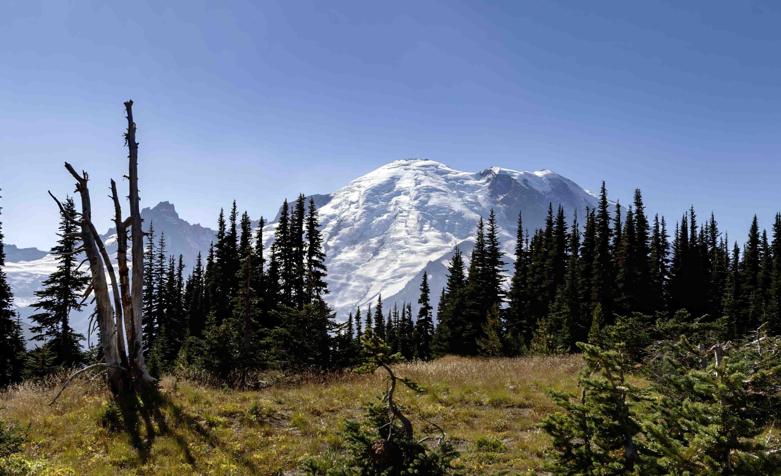
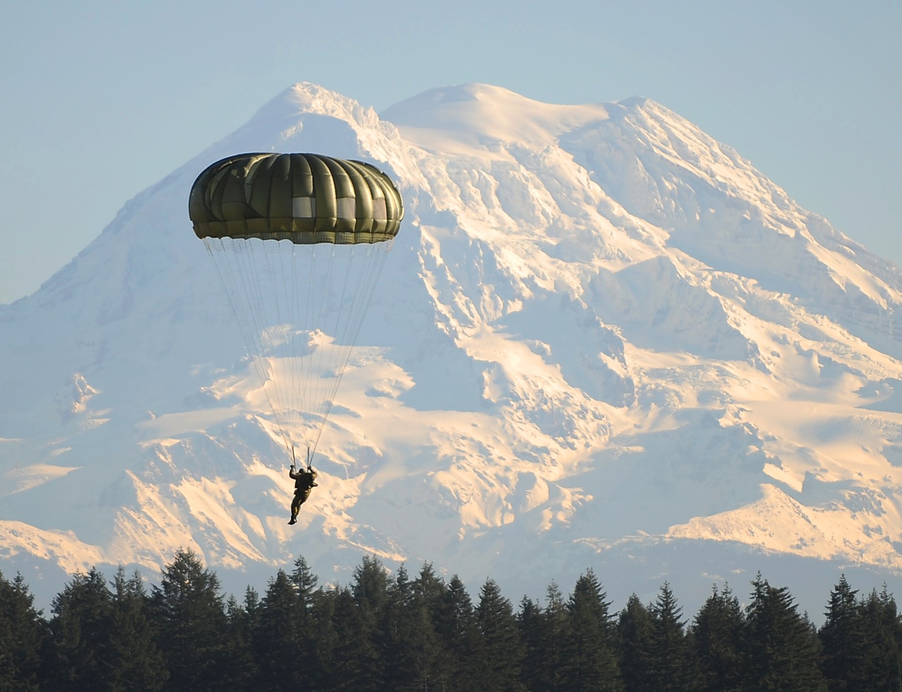
Mount Rainier, an iconic stratovolcano in Washington State, sits at a complex plate boundary where the Juan de Fuca plate subducts beneath the North American plate. This subduction zone, part of the Pacific Ring of Fire, drives volcanic activity and shapes the region’s geology. Mount Rainier’s formation and ongoing volcanic processes are directly linked to this tectonic interaction, making it a prime example of subduction zone volcanism and a focal point for geological research.
What is the Tectonic Setting of Mount Rainier?

Mount Rainier is situated along the Cascadia subduction zone, where the oceanic Juan de Fuca plate dives beneath the continental North American plate. This tectonic configuration is responsible for the formation of the Cascade Volcanic Arc, of which Mount Rainier is a prominent member. The subduction process occurs approximately 60 miles off the coast of Washington and Oregon, creating a dynamic geological environment that has shaped the landscape for millions of years.
Key features of Mount Rainier’s tectonic setting include:
- Subduction of the Juan de Fuca plate beneath the North American plate
- Formation of the Cascade Volcanic Arc
- High seismic activity due to plate interactions
- Generation of magma through partial melting of the subducting plate
How Does Plate Subduction Influence Mount Rainier’s Volcanic Activity?

The subduction process at Mount Rainier’s plate boundary is the driving force behind its volcanic nature. As the Juan de Fuca plate descends into the Earth’s mantle, several key processes occur:
- Dehydration of the subducting plate
- Partial melting of the mantle wedge
- Formation of magma chambers
- Upward migration of magma through the crust
These processes culminate in the volcanic activity observed at Mount Rainier. The magma generated by subduction is typically andesitic to dacitic in composition, contributing to the explosive nature of Mount Rainier’s eruptions.
What is the Geological History of Mount Rainier?
Mount Rainier’s geological history spans hundreds of thousands of years, with its current edifice built upon the remnants of ancient volcanic structures. Here’s a timeline of significant events:
| Time Period | Event |
|---|---|
| 500,000 years ago | Initial formation of Mount Rainier |
| 420,000 years ago | Earliest documented eruptions |
| 5,600 years ago | Osceola Mudflow event |
| 1450 CE | Last confirmed eruption |
| 1820-1854 CE | Minor eruptive activity (unconfirmed) |
The volcano’s history is marked by periods of intense activity interspersed with long periods of dormancy. The Osceola Mudflow, occurring about 5,600 years ago, was a particularly catastrophic event that reshaped the mountain’s profile and impacted surrounding areas.
What Are the Current Monitoring Efforts at Mount Rainier?
Given Mount Rainier’s potential for future volcanic activity and its proximity to populated areas, extensive monitoring systems are in place. These include:
- Seismic networks to detect earthquakes and volcanic tremors
- GPS stations to measure ground deformation
- Gas and temperature sensors to monitor volcanic emissions
- Lahar detection systems in nearby river valleys
The United States Geological Survey (USGS) and the Pacific Northwest Seismic Network (PNSN) collaborate to maintain these monitoring systems and analyze the data they provide.
How Does Mount Rainier Compare to Other Cascade Volcanoes?
Mount Rainier is one of several prominent volcanoes in the Cascade Range, each with its unique characteristics:
- Mount Rainier: Largest and most glaciated Cascade volcano
- Mount St. Helens: Most active in recent history (1980 eruption)
- Mount Baker: Northernmost Cascade volcano in the U.S.
- Mount Hood: Closest major Cascade volcano to a metropolitan area (Portland)
While all these volcanoes are products of the same subduction zone, Mount Rainier stands out due to its size, glacial coverage, and potential impact on surrounding communities.
What Are the Hazards Associated with Mount Rainier?
Mount Rainier poses several geological hazards to surrounding areas:
- Volcanic eruptions (ash fall, pyroclastic flows)
- Lahars (volcanic mudflows)
- Glacial outburst floods
- Earthquakes
- Landslides and debris avalanches
Of these, lahars are considered the most significant threat due to their potential to travel long distances and impact populated areas in the Puget Sound lowlands.
How Can Visitors Explore Mount Rainier’s Geology?
Mount Rainier National Park offers numerous opportunities for visitors to explore and learn about the volcano’s geology:
- Visitor Centers: Paradise and Sunrise centers provide educational exhibits and ranger-led programs.
- Hiking Trails: Many trails showcase geological features, such as lava flows and glacial formations.
- Guided Tours: Ranger-led walks often focus on the park’s geological history.
- Scenic Drives: Routes like the Sunrise Road offer views of the volcano’s structure and surrounding landscape.
Visitors are encouraged to check the park’s official website for current programs and accessibility information.
What Future Research is Planned for Mount Rainier?
Ongoing and future research at Mount Rainier focuses on several key areas:
- Improved eruption forecasting methods
- Better understanding of magma chamber dynamics
- Assessment of glacial retreat and its impact on volcanic hazards
- Development of more accurate lahar prediction models
- Study of the volcano’s impact on local ecosystems and climate
These research efforts aim to enhance our understanding of Mount Rainier’s geological processes and improve hazard mitigation strategies for surrounding communities.
In conclusion, the Mount Rainier volcano plate boundary represents a complex and dynamic geological system. Its study provides valuable insights into subduction zone processes, volcanic hazards, and the geological evolution of the Cascade Range. As research continues, our understanding of this magnificent volcano and its tectonic setting will undoubtedly deepen, contributing to both scientific knowledge and public safety.
References:
1. National Parks Traveler: Mount Rainier Geology And Its Hazards
2. NPS History: THE GEOLOGIC STORY OF MOUNT RAINIER
3. USGS: Geology and History Summary for Mount Rainier
