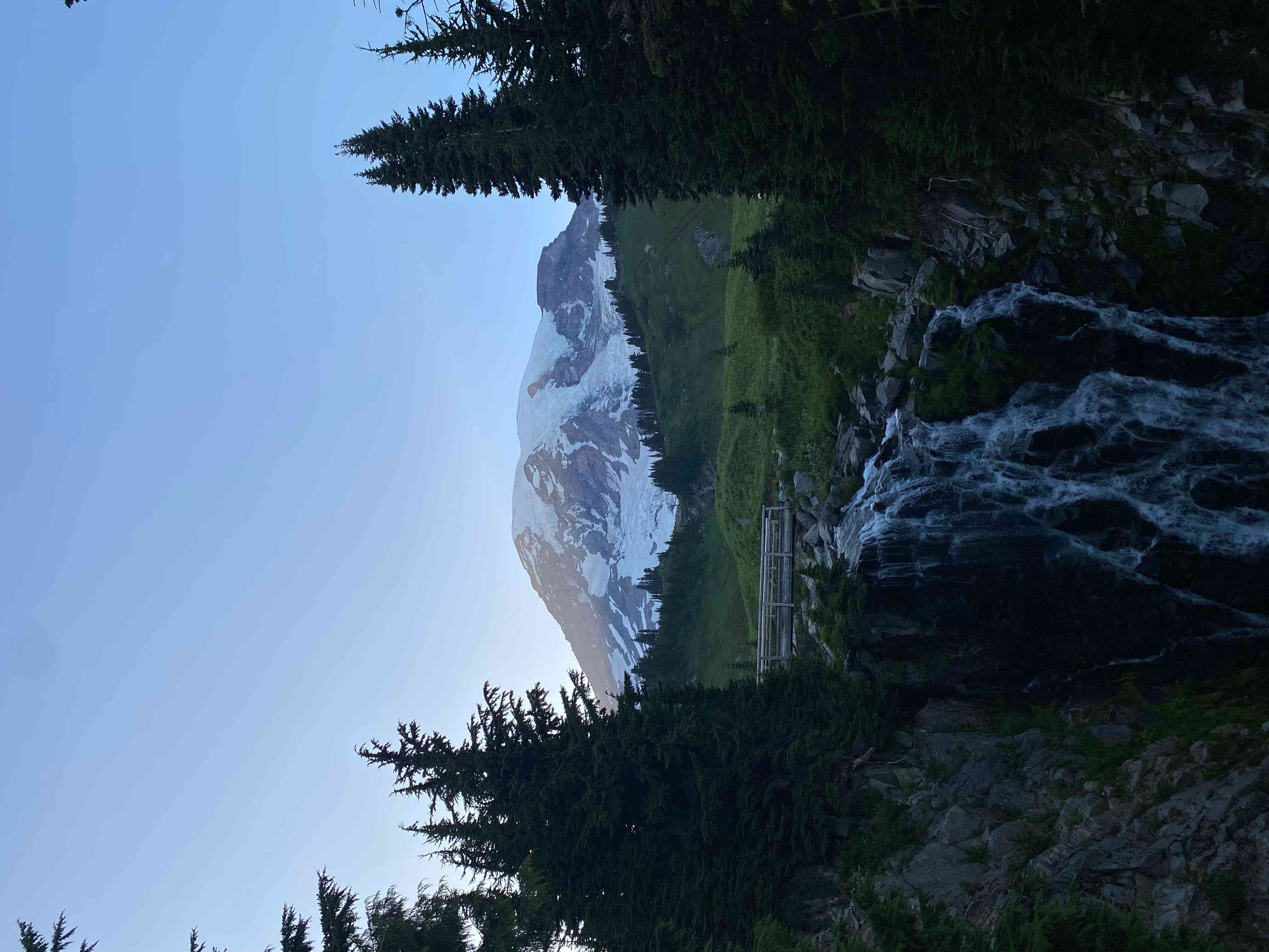
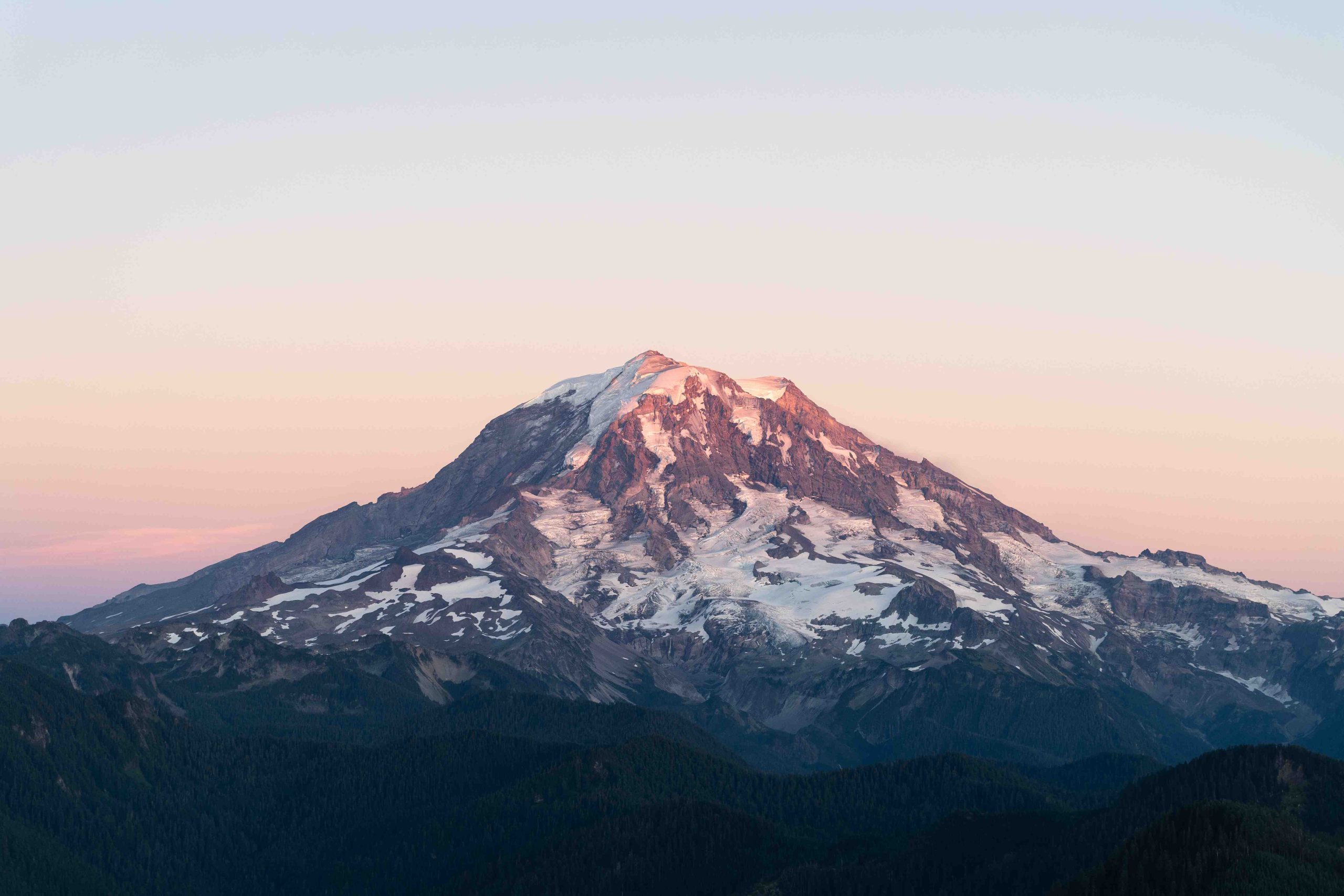
Mount Ruth in Mount Rainier National Park offers a challenging off-trail mountaineering experience for adventurous hikers. Located near the White River Campground, this 8,640-foot peak provides stunning views of Mount Rainier and the surrounding landscape. The route to Mount Ruth is not an official trail but a rugged, off-trail journey that requires careful navigation and mountaineering skills. This article explores the details of hiking Mount Ruth, including trail information, elevation comparisons, panoramic views, and access routes.
What is the Hiking Route to Mount Ruth?

The journey to Mount Ruth begins at the White River Campground and follows this general route:
- Start on the Glacier Basin Trail
- Hike approximately 4 miles to a meadow
- Turn south onto a spur boot trail
- Navigate through forest and meadows to the base of Mount Ruth
- Ascend steep terrain to reach the summit
Key details of the hike include:
- Round-trip distance: Approximately 10 miles
- Elevation gain: 4,168 feet
- Summit elevation: 8,640 feet
- Difficulty: Challenging due to off-trail navigation and steep terrain
How Does Mount Ruth’s Elevation Compare to Surrounding Peaks?

Mount Ruth’s elevation of 8,640 feet places it as a significant peak within Mount Rainier National Park, though it’s considerably lower than the park’s namesake. Here’s a comparison:
| Peak | Elevation (feet) |
|---|---|
| Mount Rainier | 14,411 |
| Mount Ruth | 8,640 |
| Glacier Basin | ~6,000 |
While not the tallest in the area, Mount Ruth’s prominence and location offer unique perspectives of the surrounding landscape.
What Panoramic Views Can Be Seen from Mount Ruth’s Summit?
The summit of Mount Ruth rewards hikers with breathtaking panoramic views, including:
- Mount Rainier’s imposing presence
- The vast expanse of the Emmons Glacier
- The White River valley stretching below
- Surrounding peaks within Mount Rainier National Park
- Glacier Basin area
For optimal visibility and photography opportunities, consider these factors:
- Best seasons: Summer and early fall
- Ideal times of day: Early morning or late afternoon for better lighting
- Weather conditions: Clear days offer the most expansive views
What is the Most Efficient Access Route to Mount Ruth?
To efficiently reach Mount Ruth, follow these guidelines:
- Starting Point: White River Campground
- Provides parking, but spaces can be limited during peak season
-
Check current parking availability before your trip
-
Road Conditions:
- Generally well-maintained
- Subject to seasonal closures due to snow and maintenance
-
Always check current road conditions before departing
-
Seasonal Accessibility:
- Best access: Mid-summer to early fall
- Winter and early spring: Often inaccessible due to snow and avalanche risks
- Verify trail conditions with park rangers before attempting the hike
How Should Hikers Prepare for the Mount Ruth Trek?
Given the challenging nature of the Mount Ruth hike, proper preparation is crucial:
- Physical Fitness:
- Build endurance for a strenuous 10-mile round trip with significant elevation gain
-
Practice hiking on uneven terrain and steep slopes
-
Navigation Skills:
- Bring topographic maps and a compass
- GPS device with extra batteries
-
Familiarize yourself with the route beforehand
-
Essential Gear:
- Sturdy hiking boots with good ankle support
- Trekking poles for stability
- Layers of moisture-wicking and insulating clothing
- Sun protection (hat, sunscreen, sunglasses)
- First aid kit
-
Emergency shelter
-
Food and Water:
- Pack more water than you think you’ll need (at least 3 liters)
- High-energy snacks and a substantial lunch
-
Water filtration system for refills from natural sources
-
Safety Precautions:
- Inform someone of your hiking plans
- Check weather forecast and be prepared for sudden changes
- Carry an emergency communication device
What Wildlife Might Be Encountered on the Mount Ruth Trail?
The diverse ecosystems around Mount Ruth support various wildlife:
- Mountain goats
- Marmots
- Pikas
- Black bears (rare, but possible)
- Various bird species, including Clark’s Nutcracker and Gray Jay
Remember to observe wildlife from a safe distance and never feed animals in the park.
How Does Mount Ruth Contribute to Mount Rainier’s Ecosystem?
Mount Ruth plays a vital role in the park’s ecosystem:
- Watershed: Contributes to the White River watershed
- Vegetation Zones: Supports subalpine and alpine plant communities
- Wildlife Habitat: Provides crucial habitat for high-altitude species
- Geological Interest: Offers insights into the volcanic history of the Cascade Range
What Are the Park Regulations for Hiking Mount Ruth?
When planning your Mount Ruth adventure, be aware of these park regulations:
- Obtain necessary wilderness permits for overnight stays
- Practice Leave No Trace principles
- Stay on established routes to minimize impact
- No drones allowed within park boundaries
- Pets are not permitted on trails or in the backcountry
By respecting these rules, you help preserve the natural beauty of Mount Rainier National Park for future generations.
Mount Ruth in Mount Rainier National Park offers a challenging and rewarding experience for experienced hikers and mountaineers. With proper preparation and respect for the environment, the journey to its summit provides unforgettable views and a deep connection to the raw beauty of the Cascade Mountains.
References:
1. https://www.wta.org/go-hiking/hikes/mount-ruth
2. https://www.mountaineers.org/activities/routes-places/mountt-ruth-mount-rainier
3. https://www.musthikemusteat.com/mt-rainier-white-pass/mount-ruth/
