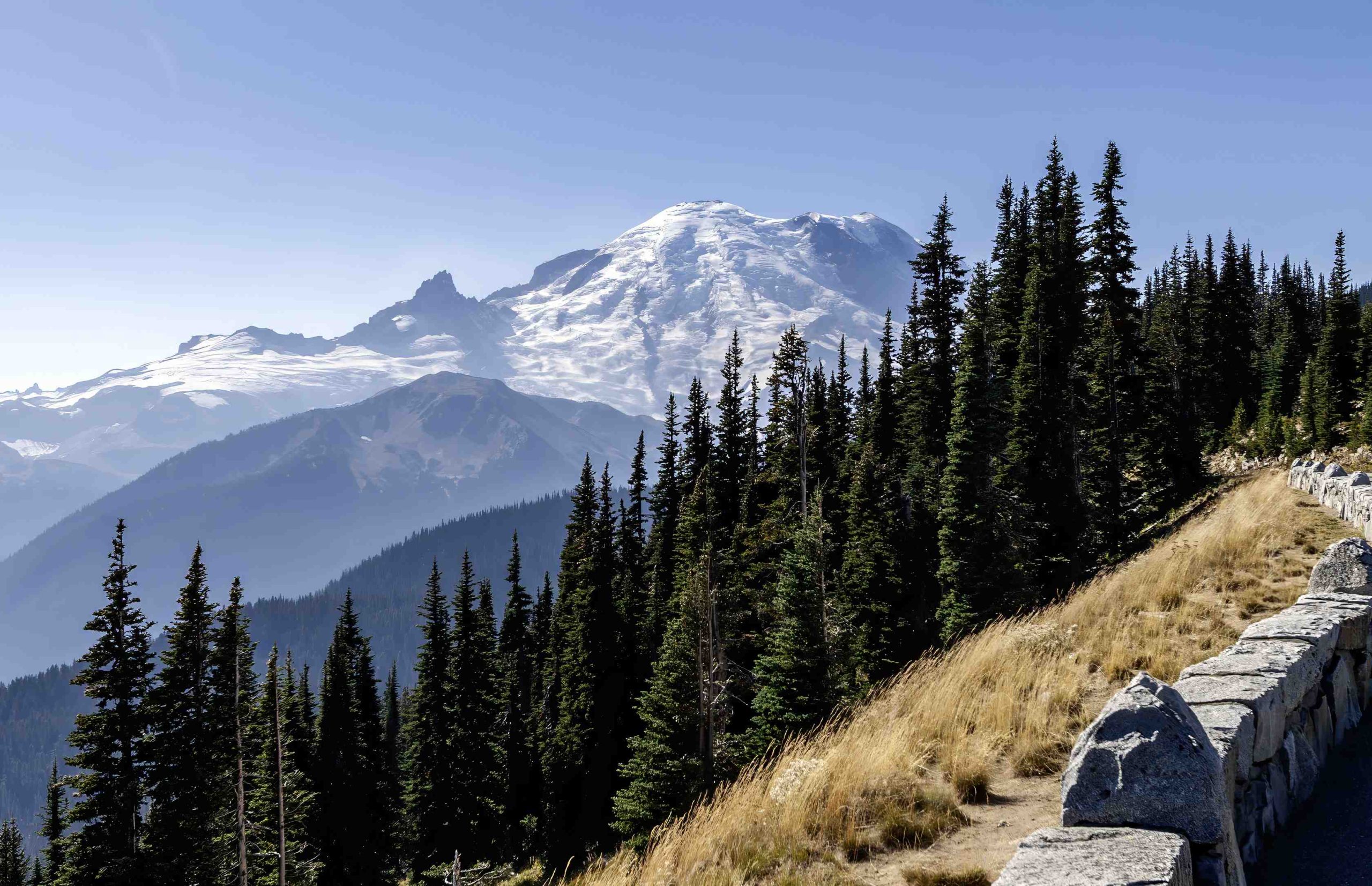
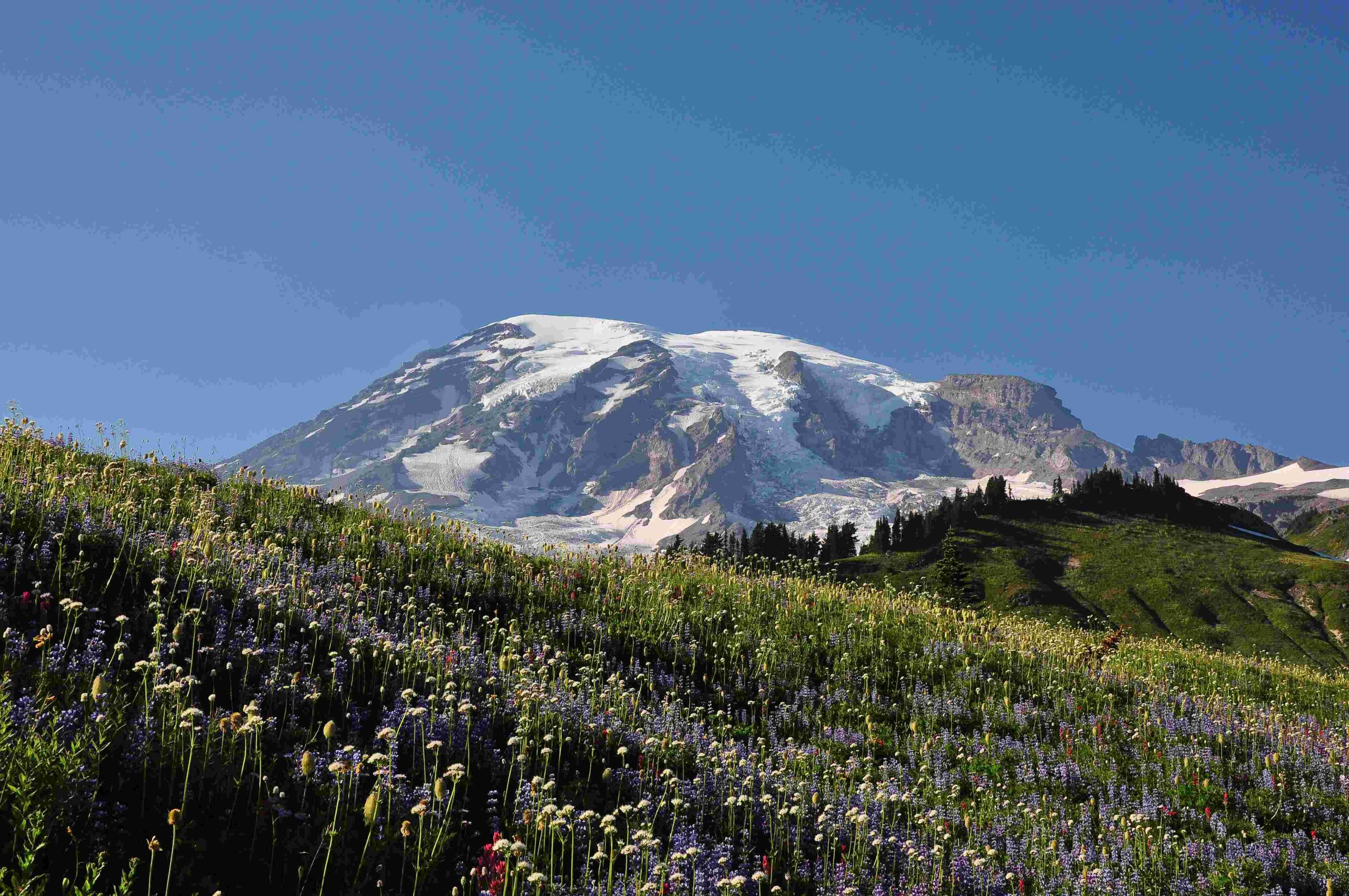
Mount Rainier, an iconic stratovolcano in the Cascade Range, has a rich and complex volcanic history spanning thousands of years. This majestic peak has shaped the landscape of the Pacific Northwest through numerous eruptions, lahars, and geological processes. The vulkan Mount Rainier historia encompasses a timeline of explosive events, lava flows, and the formation of unique geological features that continue to fascinate scientists and visitors alike.
What is the Geological Timeline of Mount Rainier’s Volcanic Activity?

Mount Rainier’s eruptive history dates back over 10,000 years, with significant events shaping its current form and the surrounding landscape. Here’s a detailed timeline of key volcanic activities:
- 8050 BCE to 2750 BCE:
- Multiple eruptions occurred
- Deposition of tephra layers R, H, and B
-
Characterized by explosive events and ash falls
-
2550 BCE:
- Eruption with Volcanic Explosivity Index (VEI) of 3
-
Associated with tephra layer B
-
1850 BCE to 700 BCE:
- Several eruptions took place
-
Formation of tephra layer SL1 and others
-
500-600 years ago:
- Numerous lahars, including the Electron mudflow
-
Presence of glassy clasts indicating juvenile material from eruptions
-
1450 ± 100 years:
-
Confirmed eruption, though specific details are less clear
-
1000-3000 years ago:
- Eruption of layer C, the most extensive and youngest known pumice layer
- Dated to approximately 2000-2350 years ago
-
Widely distributed east and northeast of the volcano
-
Around 1000 years ago:
- Largest eruption in recent history
-
Produced a significant mudflow (lahar) down the Puyallup River Valley to Puget Sound
-
1820 CE:
- Reports of fire, noises, and an earthquake from indigenous people
- Not confirmed as a distinct eruption
- Likely redeposited tephra from earlier eruptions
How Has Mount Rainier’s Geological Structure Evolved?

Mount Rainier’s current form is the result of millions of years of volcanic activity and erosion. The volcano’s structure and composition provide insights into its eruptive history and potential future hazards.
Stratovolcano Structure
- Built up over the past half million years
- Alternating periods of high and low volume eruptions
- Tall cone characteristic of stratovolcanoes
Lava Flows and Composition
- Cone formed by layers of lava and loose rubble
- Lava flows once projected more than 1,000 feet above the present summit
- Primary rock type: andesitic
- Significant amounts of granodiorite (close relative of granite)
- Granodiorite characterized by “salt-and-pepper” appearance
Geological Formations
- Located on a subduction zone where continental and oceanic plates collide
- Extensive glacier system carved the volcano’s cone into its current craggy form
- Ridgetops formed from resistant lava flows:
- Rampart Ridge
- Burroughs Mountain
- Grand Park
- Klapatche Ridge
What Are the Major Volcanic Hazards Associated with Mount Rainier?
Mount Rainier’s volcanic activity poses several potential hazards to the surrounding areas. Understanding these risks is crucial for public safety and emergency preparedness.
Lahars (Volcanic Mudflows)
- Major hazard, as seen in the event around 1000 years ago
- Can be triggered by volcanic activity melting snow and ice
- Potential for catastrophic mudflows down river valleys
- Can transform landscapes and affect areas far from the volcano
Ashfall
- Produced by explosive eruptions
- Can affect areas far from the volcano
- Impacts:
- Air travel disruption
- Agricultural damage
- Human health risks
Volcanic Gas Emissions
- Fumaroles present on slopes and crater rims
- Indicate ongoing volcanic activity
- Pose risks to visitors and local populations
How Are Volcanic Hazards Monitored and Mitigated at Mount Rainier?
To ensure public safety and minimize the impact of potential volcanic activity, various monitoring and safety measures are in place at Mount Rainier.
Monitoring Systems
- Pacific Northwest Seismic Network
- United States Geological Survey
- Equipment used:
- Seismometers
- Gas monitoring stations
- Ground deformation sensors
Warning Systems and Emergency Protocols
- Volcano hazard assessment and response plans
- Emergency evacuation routes
- Early warning systems for lahars and other volcanic hazards
Public Education
- Continuous programs to inform visitors and local residents
- Focus on potential hazards and safety measures
- Importance of preparedness and following official guidance
What is the Significance of Mount Rainier’s Volcanic History for the Region?
Mount Rainier’s vulkan historia has played a crucial role in shaping the landscape and ecology of the Pacific Northwest. Its eruptions and geological processes have:
- Formed unique habitats and ecosystems
- Influenced soil composition and fertility
- Created distinctive landforms and scenic vistas
- Provided valuable resources, such as minerals and water
- Shaped human settlement patterns and land use in the region
Understanding the vulkan Mount Rainier historia is essential for:
- Assessing future volcanic hazards
- Developing effective emergency management strategies
- Preserving the natural and cultural heritage of the area
- Advancing scientific knowledge of volcanic processes and their impacts on the environment
The ongoing study of Mount Rainier’s volcanic history continues to provide valuable insights into the dynamic nature of our planet and the complex interactions between geological processes and human societies.
