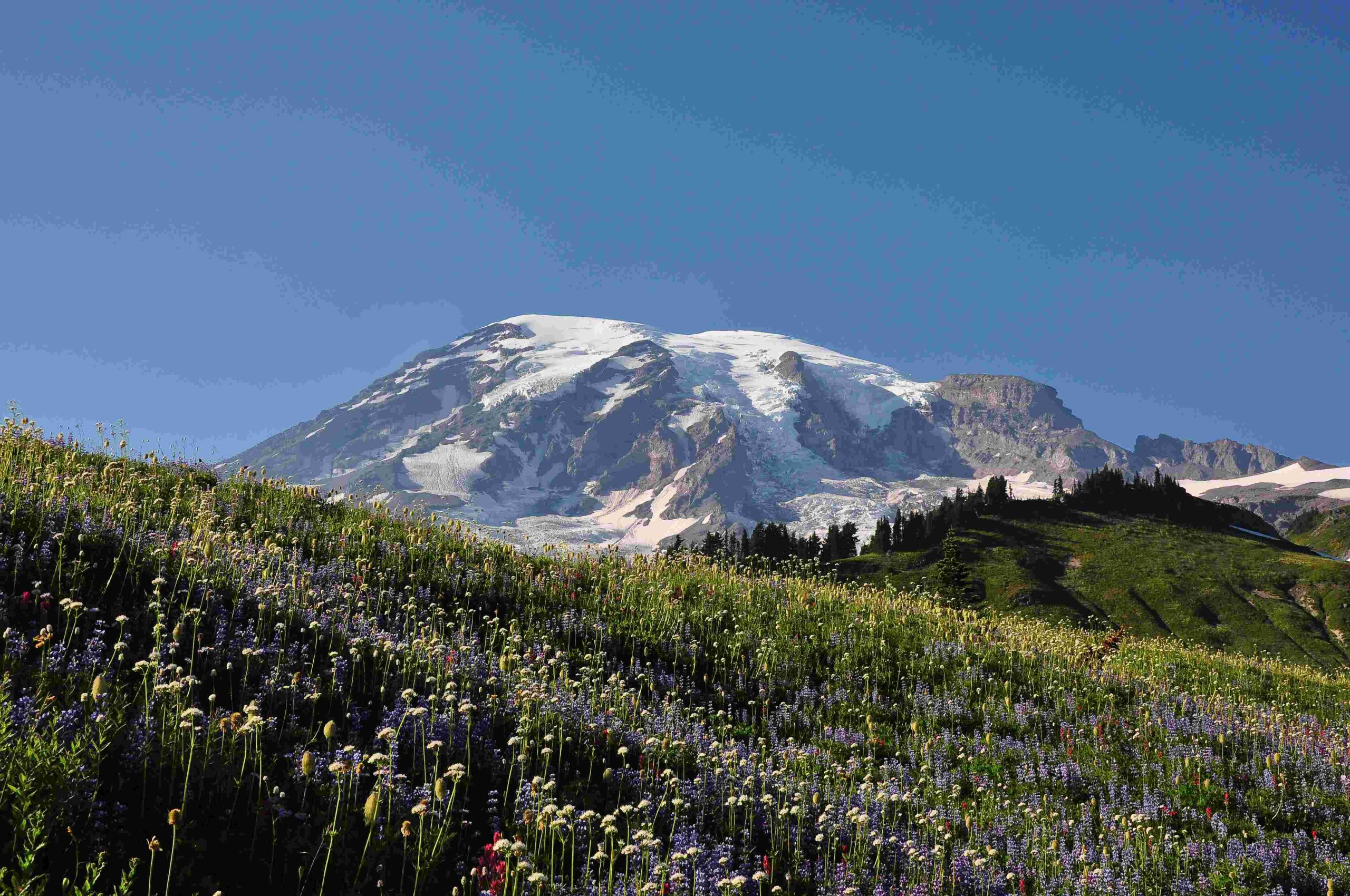
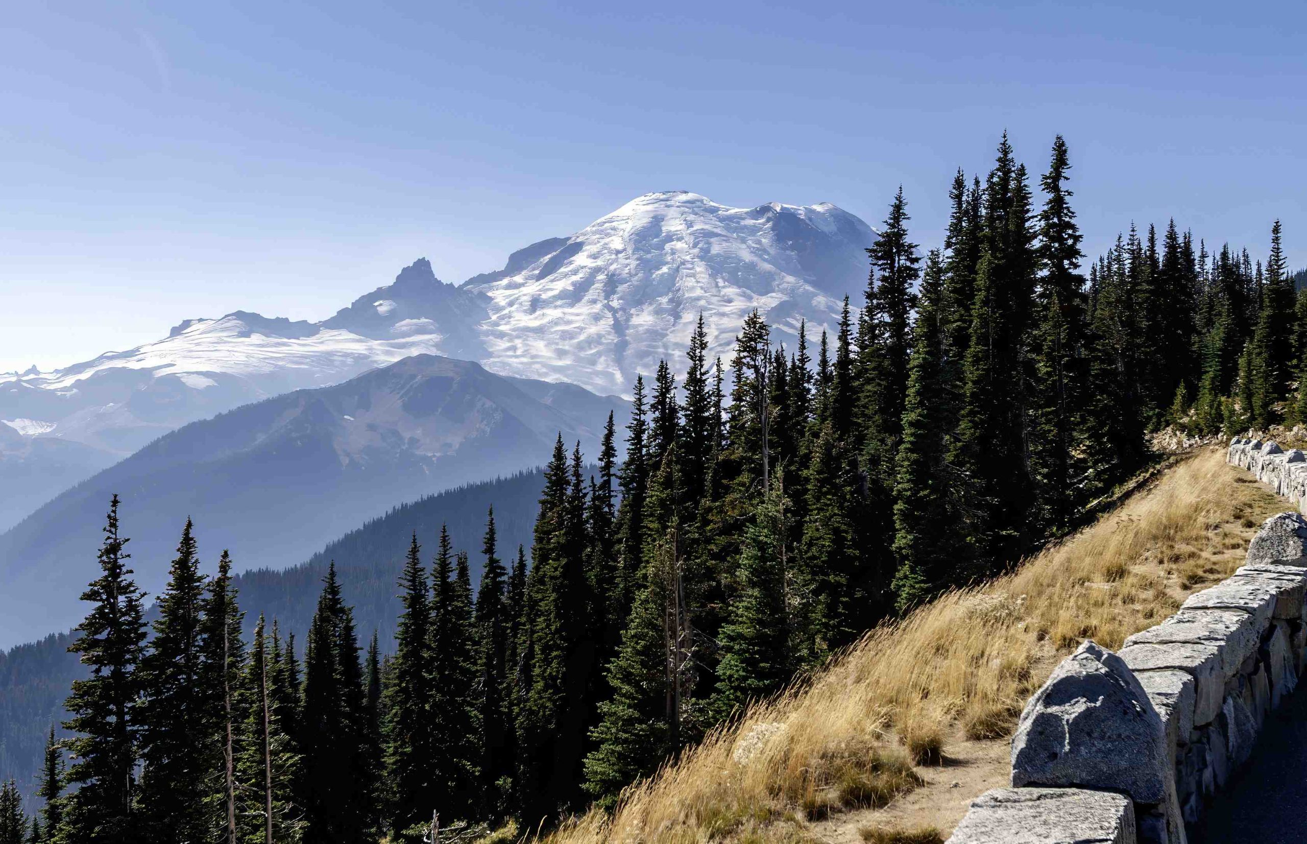
Mount Rainier, an active volcano in Washington State, poses a significant threat to nearby communities. In the event of an eruption, particularly a lahar (volcanic mudflow), knowing where to go is crucial for survival. This guide provides essential information on evacuation routes, safe zones, emergency shelters, and disaster preparedness strategies for residents in the affected areas, including Auburn, Puyallup, and other nearby communities.
What Are the Safest Evacuation Routes from Mount Rainier?

When Mount Rainier erupts, following the designated evacuation routes is critical. Here’s what you need to know:
- Volcano Evacuation Route Signs: Look for blue and white signs throughout affected areas.
- Key Routes:
- Auburn: 15th ST SW, 15th ST NE, Peasley Canyon Rd S, 8th ST NE, Auburn Way S, Lakeland Hills Way SE
- Puyallup: Follow the city’s Evacuation Walk Time Map and Evacuation Map
- Time Frame: Residents typically have about 1.6 hours from the first warning to evacuate.
Table: Evacuation Route Details
| City | Key Routes | Estimated Evacuation Time |
|---|---|---|
| Auburn | 15th ST SW, 15th ST NE, Peasley Canyon Rd S | 1.6 hours |
| Puyallup | Refer to city’s Evacuation Map | Varies by location |
Where Are the Designated Safe Zones?

Safe zones are crucial destinations when evacuating from Mount Rainier. Here’s what you should know:
- Located on higher ground above valley floors
- Accessible via marked evacuation routes
- Less prone to lahar impacts
- Capacity depends on specific location
What Emergency Shelters Are Available?
While specific shelter information may vary, here are general guidelines:
- Contact local emergency management departments for exact locations
- Shelters typically provide:
- Food and water
- First aid
- Communication services
- Bring essential supplies:
- Personal food and water
- First aid kit
- Communication devices
How Can You Prepare for a Mount Rainier Eruption?
Preparation is key to ensuring your safety. Follow these disaster preparedness strategies:
- Assemble an emergency kit with:
- Non-perishable food
- Water (1 gallon per person per day)
- First aid supplies
- Flashlight and batteries
- Battery-powered or hand-crank radio
- Create a family communication plan
- Stay informed through:
- Emergency broadcasts
- Pierce County ALERT
- NOAA Weather Radio
- USGS Volcano Notification Service
- Share your evacuation plan with family and neighbors
- Keep important documents in a waterproof, portable container
What Are the Key Contact Numbers for Emergency Services?
Keep these contact numbers handy:
- Pierce County Department of Emergency Management: Check Pierce County website
- City of Auburn Emergency Management: 253-876-1925, emergencyprep@auburnwa.gov
- Puyallup Emergency Management: Refer to City of Puyallup website
How Long Do You Have to Evacuate After a Warning?
Time is of the essence when evacuating from Mount Rainier:
- Typical warning time: Approximately 1.6 hours
- Action required: Immediate evacuation following designated routes
- Transportation: Walking may be necessary due to potential road blockages
What Should You Do If You Can’t Reach a Safe Zone in Time?
If evacuation to a designated safe zone isn’t possible:
- Seek the highest ground possible
- Avoid river valleys and low-lying areas
- Stay alert for further instructions from emergency services
- Use your emergency supplies wisely
- Signal for help if possible
How Can You Stay Informed During an Evacuation?
Staying informed is crucial during a Mount Rainier eruption:
- Monitor official emergency broadcasts
- Use the Pierce County ALERT system
- Listen to NOAA Weather Radio
- Follow updates from the USGS Volcano Notification Service
- Check local government websites and social media channels
Remember, knowing where to go if Mount Rainier erupts can save lives. Stay prepared, stay informed, and follow official guidance for the best chance of safety during this natural disaster.
References:
1. Pierce County Fire District #23 – Geohazards and Evacuation Maps
2. City of Auburn – Volcano Evacuation Routes
3. City of Puyallup – Mount Rainier

